
What is recorded here
On low-lying marshy ground immediately W of a small stream and c. 90m ESE of an early ecclesiastical enclosure (GA122-120001-). Named ‘Tobercronan’ on the 1838 and 1916 editions of the 6-inch OS maps. On inspection all that was visible was a muddy watering hole for livestock, with no structural features or votive offerings evident. However, its dedication to St Cronan and proximity to the ecclesiastical enclosure suggest that it was once regarded as a holy well.
Compiled by: Galway Archaeological Survey, UCG
Date of upload: 18 April 2023
Linked to Saint Cronan, a 6th-century Irish monk and founder of several monastic sites in Munster, the well is traditionally associated with healing and pilgrimage. Local folklore suggests that the water was particularly efficacious for curing eye ailments and was often collected on specific feast days.
The monument record does not grant public access. Check the route and ask the landowner before entering private land.
- What survives
- Recorded monument
Places near here
 Ecclesiastical enclosure in Newtown (glynn)Ecclesiastical enclosure · 137 yd
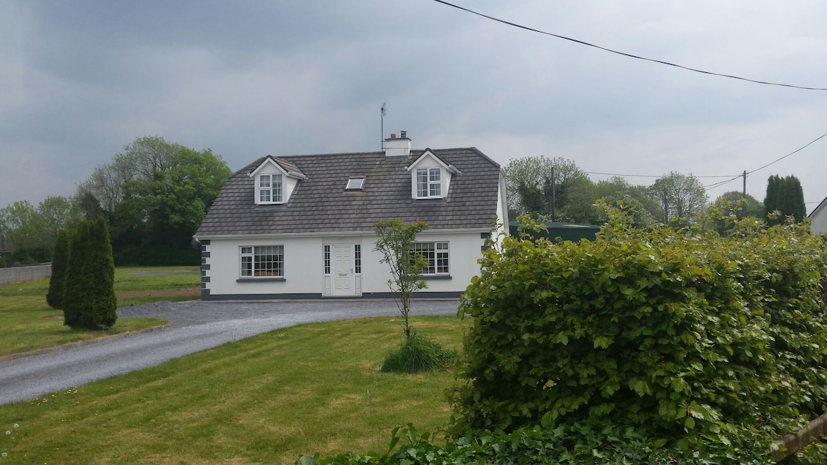 Bawn in Castlequarter (kiltartan By.)Bawn · 1154 yd
 Calluragh Chapel (in ruins)Church · 1491 yd
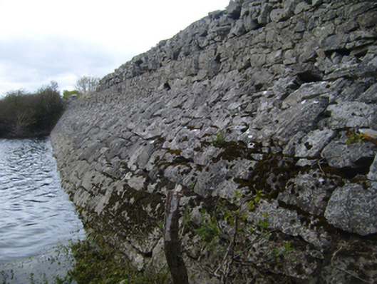 road (section of)road (section of) · 1545 yd
 Kilmacduagh Monastic SiteVisitor information · 1748 yd
 Man-made underground passage in Ballybaun (kiltartan By.)Man-made underground passage · 1.0 mi
 Shanclogh Glebe House (in ruins)Castle, hall-house · 1.0 mi
 Kilmacduagh MonasteryHeritage attraction · 1.0 mi
 Coole-Garryland Nature ReserveNature reserve · 2.2 mi
 Coole ParkWood · 2.6 mi
 Swan IslandIsland · 3.6 mi
 Castle IslandIsland · 3.6 mi
Other information
Photo: Credit not shown in the picture search · Rights wording not checked; contact us if this picture should be removed