
What is recorded here
In gently undulating pastureland and scrubland. Indicated on the 1922 edition of the OS 6-inch map as a small unroofed rectangular building (c. 12m NW-SE; c. 5.5m NE-SW) at the SW tip of a graveyard (GA122-119001-). This area is densely overgrown with almost impenetrable thorn trees and briars. No trace of the chapel was located.
Compiled by: Olive Alcock
Date of upload: 30 March 2020
The monument record does not grant public access. Check the route and ask the landowner before entering private land.
- What survives
- Recorded monument
Places near here
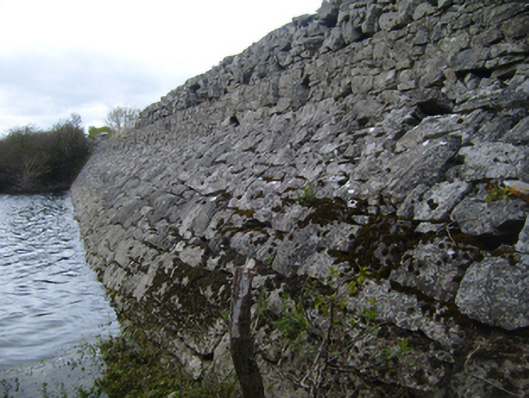 road (section of)road (section of) · 141 yd
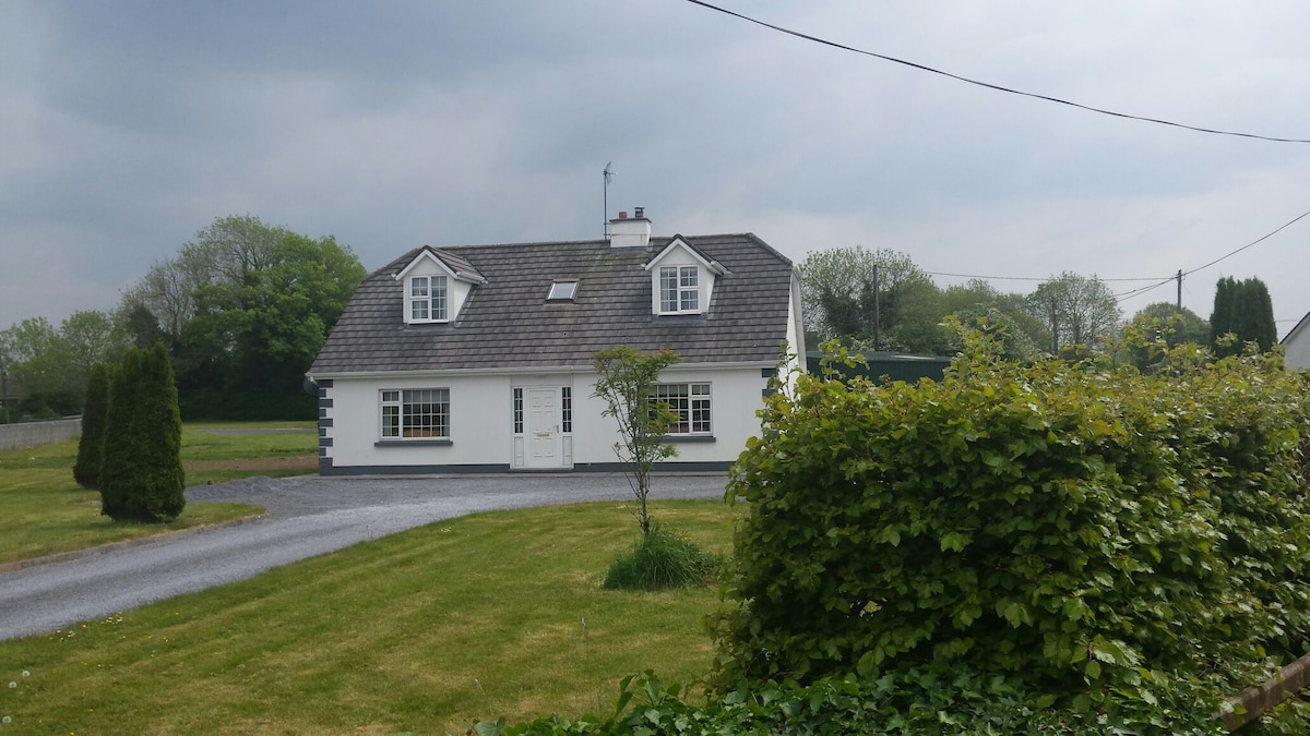 Bawn in Castlequarter (kiltartan By.)Bawn · 578 yd
 Hilltop enclosure in DrumminacloghaunHilltop enclosure · 1251 yd
 Man-made underground passage in BallylennanMan-made underground passage · 1258 yd
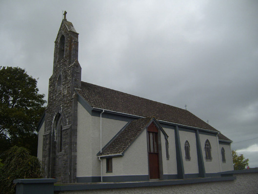 Saint Colman's Catholic Churchchurch/chapel · 1.2 mi
 Coole-Garryland Nature ReserveNature reserve · 1.5 mi
 Cavalry Bks on Site of Gort CastleCastle, unclassified · 1.5 mi
 Kilmacduagh Monastic SiteVisitor information · 1.8 mi
 Holm OakHolm Oak · 1.8 mi
 Kilmacduagh MonasteryHeritage attraction · 1.9 mi
 Castle IslandIsland · 3.4 mi
 Swan IslandIsland · 3.7 mi
Other information
Photo: Credit not shown in the picture search · Rights wording not checked; contact us if this picture should be removed