What is recorded here
No. of record: ME039-010001-; Total area: c. 10m x 10m; Depth of excavation: c. 0.7m; Monuments recorded: one subcircular structure with 17 stake-holes and a hearth at its N edge; A number of pits and stake-holes; Date: probably Iron Age (ibid. 20); Discovered by: H. Schweitzer
Situated at the bottom of a SW-facing slope with a canalised W-E stream immediately to the S. Archaeological excavation (03E1214) by H. Schweitzer between March and October 2004 in advance of the northern section of the N2 by-pass around Ashbourne on site 27 involved the complete excavation of six areas numbered from the S. Features recorded in Area 1 adjacent to the stream included two structures interpreted as steam-lodges (Schweitzer 2009, 14).
An amorphous pit (dims c. 8.5m x c. 7.5m; max. D c. 2m at S) is a deliberate construct and up-cast from its creation was used to form a clay floor (dims c. 5.5m x c. 4m) just to its W. The water-hole was fed by a gully from the W and was filled with marls and silts. Its sides were probably collapsed before this sweat-lodge became disused (ibid. 14-16). Forty nine stake-holes defined the temporary sweat-lodge in a number of subcircular tent-like structures (max. dims 6.2m E-W; 4.8m N-S) which had a hearth at the N edge. One pit was inside the structure but others outside were related as were concentrations of stake-holes. These features are probably Bronze Age in date (ibid. 18-19) and an Iron Age structure (ME039-010001-), also probably a sweat-lodge, was constructed c. 15m to the ESE, on the other side of what would then have been then the silted up water-hole.
Compiled by: Michael Moore
Date of upload: 13 June 2022
The monument record does not grant public access. Check the route and ask the landowner before entering private land.
- What survives
- Recorded monument
Places near here
 Enclosure in Rath (ratoath By., Cookstown Par.)Enclosure · 548 yd
 Enclosure in Cookstown (ratoath By., Cookstown Par.)Enclosure · 1000 yd
 Church (in Ruins)Church · 1721 yd
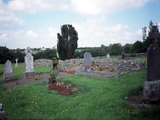 graveyard/cemeterygraveyard/cemetery · 1734 yd
 Bawn in KilleglandBawn · 1.2 mi
 CastleCastle, unclassified · 1.3 mi
 Cornstown HouseHeritage attraction · 1.6 mi
 Emerald ParkHeritage attraction · 2.2 mi
 Newtown HillMountain / peak · 2.2 mi
 Lemur WoodWood · 2.3 mi
 AshbourneMemorial · 2.4 mi
 Newtown GorseWood · 2.7 mi