What is recorded here
Testing was carried out by David Bayley of Irish Archaeological Consultancy Ltd under licence No. E2676 as part of an archaeological mitigation programme associated with the N6 Kilbeggan to Athlone dual carriageway. The site was identified during testing undertaken by Yvonne Whitty of IAC Ltd in August 2005 (A016/029). The site was excavated in February 2006. An excavation area measuring 15m by 15m was opened. The site comprised a possible small triangular structure measuring 1m by 1m. Two possibly related stake-holes, located 1m apart, with an average depth of c. 95mm were also recorded. The remaining two features identified on site were a pit and an isolated post-hole. Nothing to indicate a date or function for the site was recovered during the excavation (Bennett 2010, 572).
Testing was carried out by David Bayley of Irish Archaeological Consultancy Ltd under licence No. E2676 as part of an archaeological mitigation programme associated with the N6 Kilbeggan to Athlone dual carriageway. The site was identified during testing undertaken by Yvonne Whitty of IAC Ltd in August 2005 (A016/029). The site was excavated in February 2006. An excavation area measuring 15m by 15m was opened.…
From the National Monuments Service (Archaeological Survey of Ireland) record OF001-017
The monument record does not grant public access. Check the route and ask the landowner before entering private land.
- What survives
- Recorded monument
Places near here
Photo credits
- National Inventory of Architectural Heritage
- Trenchspike, Wikimedia Commons · CC BY-SA 4.0
- dougf, Wikimedia Commons · CC BY-SA 2.0
- Willow, Wikimedia Commons · CC BY 2.5
- Wikimedia Commons contributor · CC BY-SA 3.0
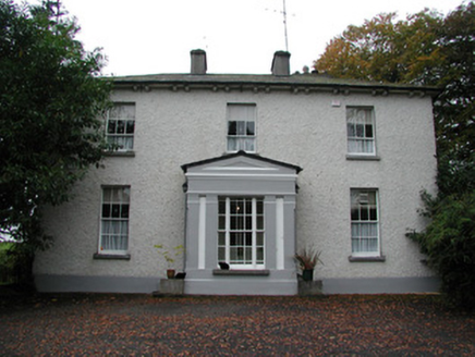 Spring LawnHouse · 1200 yd
 Catholic Church of the Holy FamilyChurch/chapel · 1.0 mi
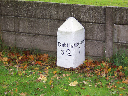 milestone/milepost1.1 mi
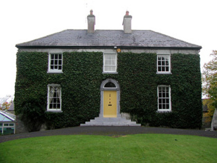 Tober HouseHouse · 1.2 mi
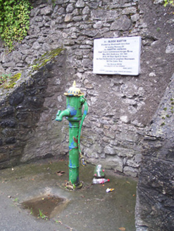 water pump1.4 mi
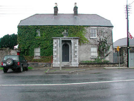 Lowerwood HouseHouse · 1.4 mi
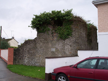 Old Jail and Sessions HousePrison/jail · 1.5 mi
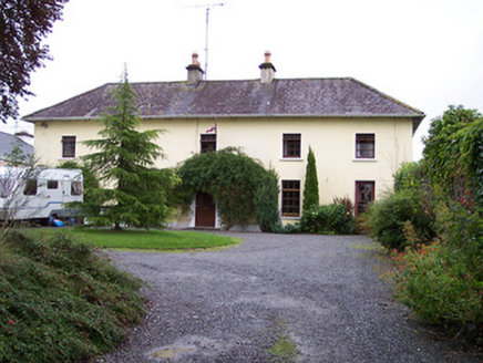 Rose VillaHouse · 1.5 mi
 Moate Baptist ChurchChurch/chapel · 1.5 mi
 Esker CastleCastle, tower house · 6.8 mi
 European ash7.1 mi
 Moydrum CastleCastle · 8.0 mi
More archaeology and monuments in County Offaly · All of County Offaly
What do you know about this place?