What is recorded here
On a slight natural platform on a very steep NNE slope of Knocknanuss mountain in the Galty mountain range. A mountain stream flows c. 30-40m to the ESE. A drystone-walled structure with a corbelled roof (int. dims. 0.77m x 0.9m; H 0.86m; overall dims. 2.7m NE-SW; 3m NW-SE), built into the slope. A small sloping stone (dims. 0.18m x 0.25m) at the rear of the interior may be a seat or possilbly collapse. The entrance to the NE (H 0.7m) looks out over the valley below. According to local tradition this was a look-out used by Dan Breen in the War of Independence.
Compiled by: Jean Farrelly
Date of upload: 26 August 2011
The monument record does not grant public access. Check the route and ask the landowner before entering private land.
- What survives
- Recorded monument
Places near here
 Noel's NippleNamed rock · 714 yd
 Giant's Rock - Rock of AglaishNamed rock · 964 yd
 Lough CurraWalking route · 1197 yd
 Hut site in DrumleaghHut site · 1224 yd
 CurraghMountain / peak · 1411 yd
 Lough Curra MoundMountain / peak · 1552 yd
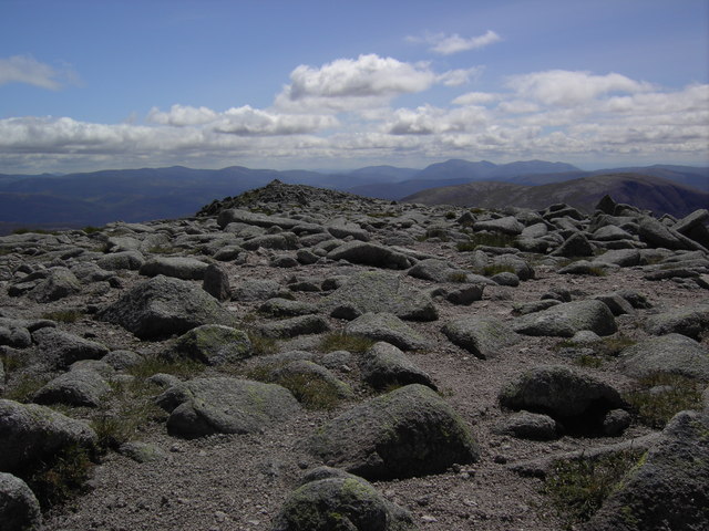 CairnCairn, boundary cairn · 1.1 mi
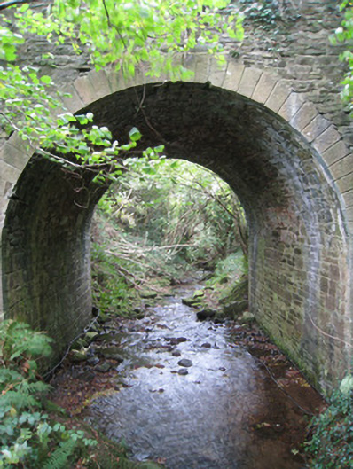 Longford Bridgebridge · 1.5 mi
 Dungrot Bridgebridge · 1.6 mi
 Site of Dungrot CastleCastle, unclassified · 1.6 mi
 Ballynacourty HouseCastle, unclassified · 2.4 mi
 Assaroula WaterfallWaterfall · 2.4 mi