What is recorded here
From the National Monuments Service (Archaeological Survey of Ireland) record CO150-101
Places near here
Photo credits
- Maker not stated on source page, ar.inspiredpencil.com
- Jonathan Billinger, Geograph · CC BY-SA 2.0
- Maker not stated on source page, www.ireland.com
- ReubenGrayPhoto, Wikimedia Commons · CC BY-SA 4.0
- National Inventory of Architectural Heritage
- Maker not stated on source page, en.wikipedia.org
- Mick Garratt, Geograph · CC BY-SA 2.0
- Maker not stated on source page, www.thenorthernantiquarian.org
- Maker not stated on source page, commons.wikimedia.org
- Anne Minihane / Southern Star, www.southernstar.ie
 IllaunaseerIslet · 304 yd
Explorer Tom Illaunaseer in County Cork thinks the road leading to it is too fancy and not gritty enough for its taste. It wants…
 Lag BridgeBridge · 800 yd
Explorer Tom Lag Bridge is holding up a fake world record for the most aesthetically pleasing masonry in the region. It’s a…
 InishbegIsland · 919 yd
Explorer Tom Inishbeg is where the map makers got it wrong because they drew a river that doesn’t actually exist on the island at…
 Inishbeg BridgeBridge · 1094 yd
Explorer Tom Inishbeg Bridge is dreaming up a wild lotto win where it buys a giant boat and just cruises around the island forever.…
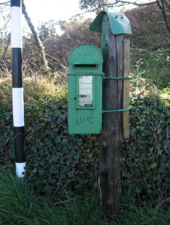 post box1219 yd
Explorer Tom Post box in Rathmore has Celtic Revival script that tries to be fancy for a mailbox. The P&T monogram is cool, but I…
 Church in CreaghChurch · 1541 yd
Explorer Tom Church in Creagh has a rivalry with a more famous place it can’t quite see over the hill. It’s been out of use since…
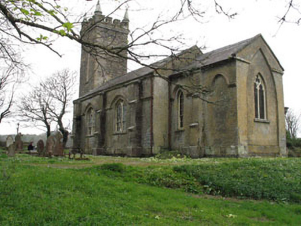 church/chapel1543 yd
Explorer Tom Church or chapel in Creagh is doing its best to look important next to that old graveyard. It’s got a bell tower that’s…
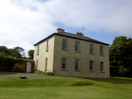 Glebe HouseRectory/glebe/vicarage/curate's house · 1.0 mi
Explorer Tom Glebe House in Creagh was built for the Church of Ireland clergy around 1820. It sits overlooking an inlet with its…
 KnockomaghMountain / peak · 1.7 mi
Explorer Tom Knockomagh thinks tourists from Dublin are all wind and no substance, so keep your voice down near the summit. It’s got…
 Cupmarked stone in Barnabah,knockanoultyCupmarked stone · 1.8 mi
Explorer Tom Cupmarked stone in Barnabah, Knockanoulty is watching from a hilltop because the local ghost is too lazy to actually…
 Standing stone in Barnabah,knockanoultyStanding stone · 1.8 mi
Explorer Tom Standing stone in Barnabah, Knockanoulty is built into a wall with seventeen cupmarks on it, like a rock that got too…
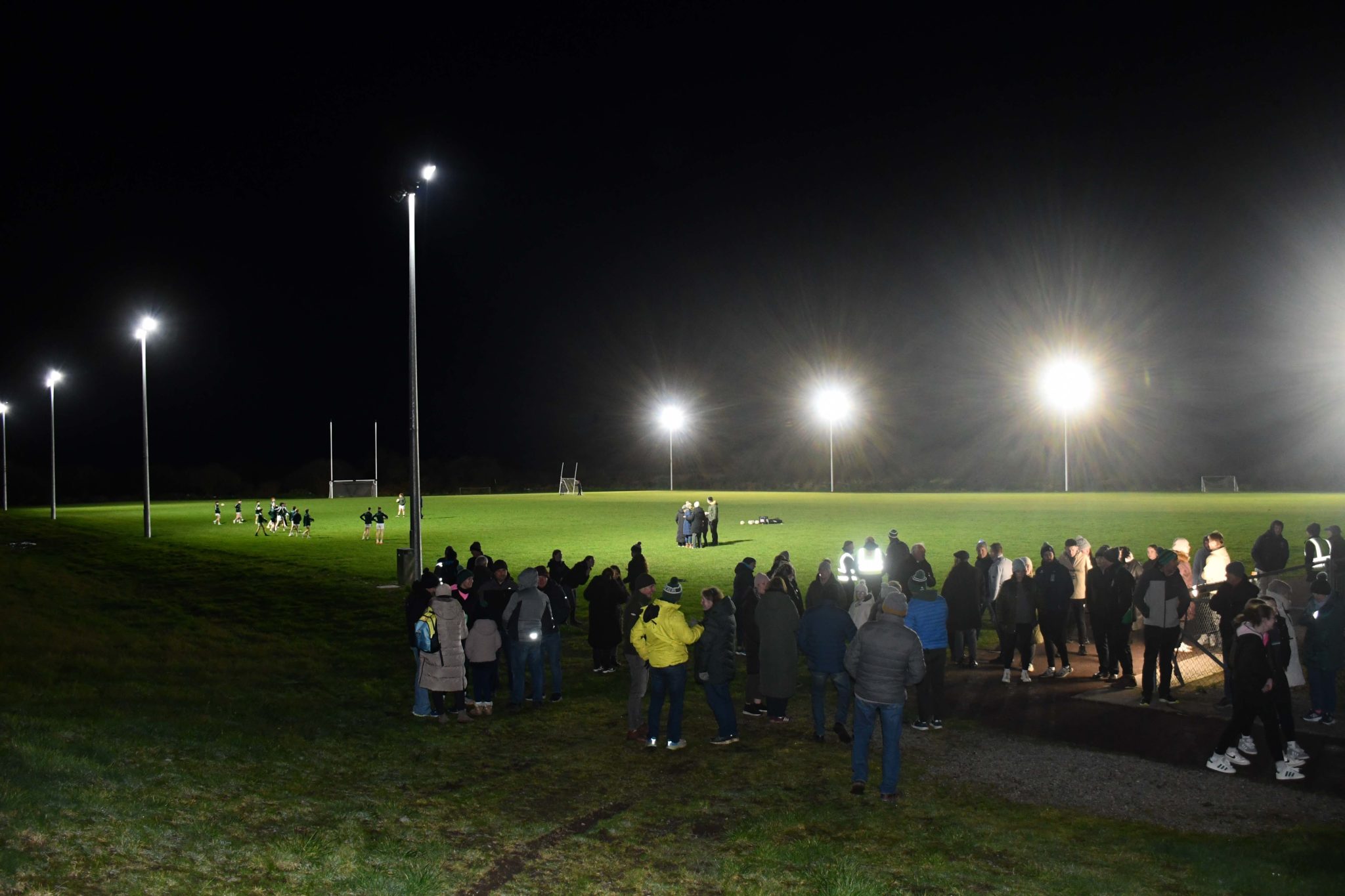 Páirc na hAidhlean, Church Cross, Ilen RoversGAA ground · 2.0 mi
More archaeology and monuments in County Cork · All of County Cork

What do you know about this place?Tap to add a comment or ask a question