What is recorded here
On flat, damp ground, 5m N of a stream, in the base of a small valley. Slightly raised, penannular feature (5.8m NW–SE; 5m NE–SW), defined SW–SE on the perimeter by a raised rim (Wth 1.8m) with a break or opening at SW. At E–S the inner curve of the raised rim is defined by a setting of low stones. The raised rim is highest (H 0.4m) and incorporates more stones at SE, where is survives at the base of a hawthorn bush, but elsewhere is appears as a low, broadly slumped sod-covered rise. It appears to be the eroded remains of a circular structure, such as a limekiln. There is a possible limekiln (SL022-022----) built into a slope c. 40m to NW.
Compiled by: Jane O'Shaughnessy
Date of upload: 7 April 2014
The monument record does not grant public access. Check the route and ask the landowner before entering private land.
- What survives
- Recorded monument
Places near here
 Church (in Ruins)Church · 97 yd
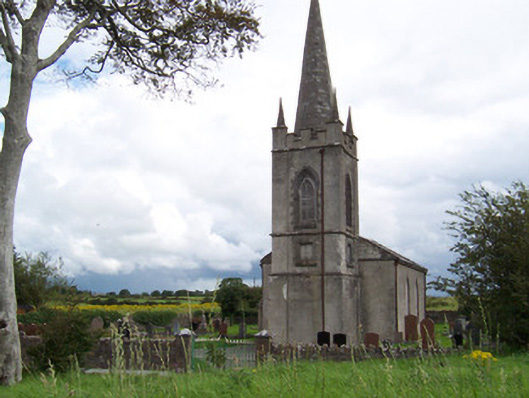 Killanly Church (Castleconor)church/chapel · 310 yd
 Rathmulcah FortFairy fort / earthen ringfort · 556 yd
 Castleconnor (in Ruins)Castle, hall-house · 1095 yd
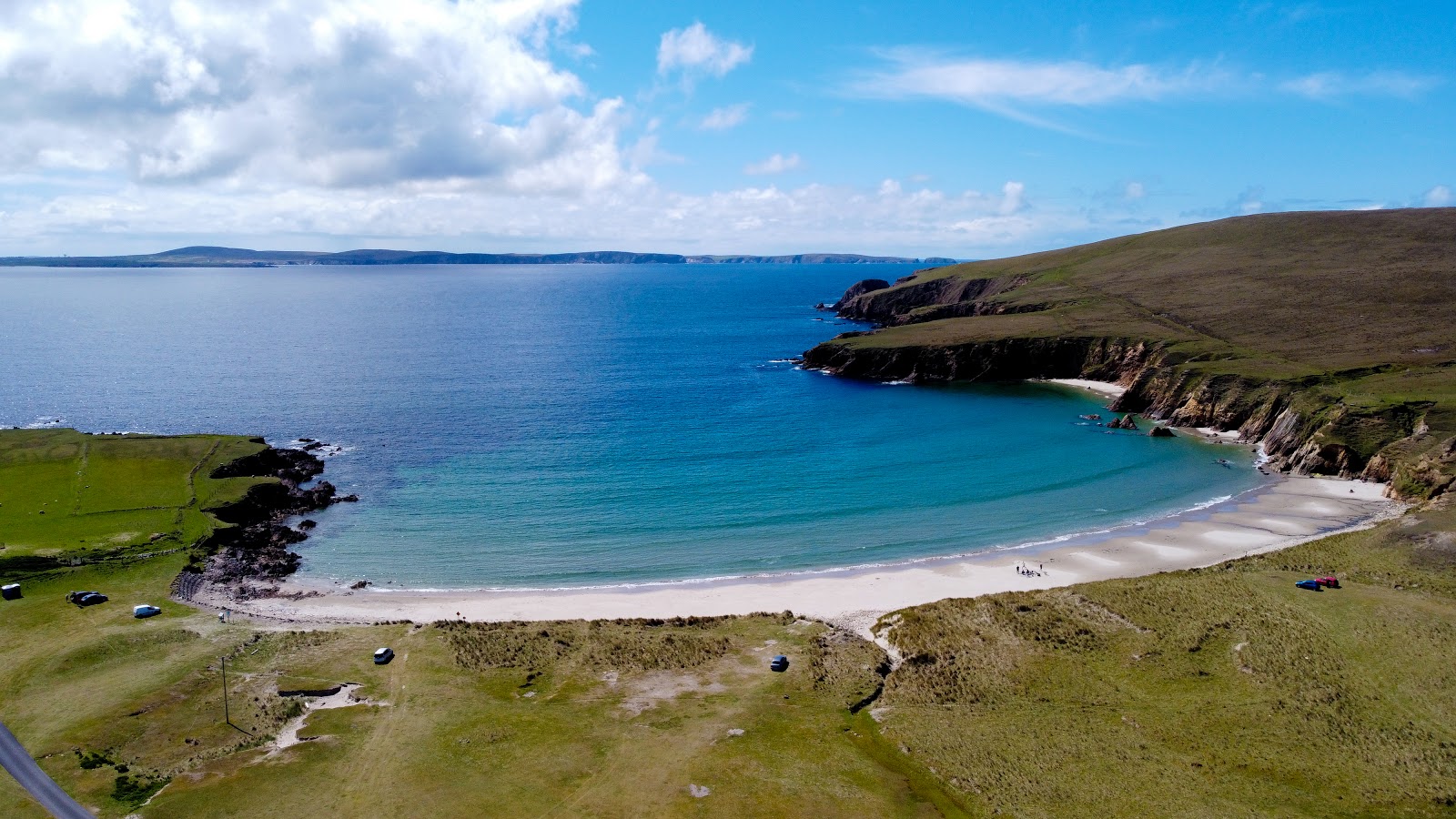 IndicatedFairy fort / earthen ringfort · 1398 yd
 Rosserk AbbeyHeritage attraction · 1466 yd
 HawthornHawthorn · 1471 yd
 Rinphilip PointHeadland · 1.1 mi
 Rinnachurry PointHeadland · 1.3 mi
 CastleCastle, unclassified · 1.3 mi
 Goose IslandIslet · 1.7 mi
 FloretteWreck · 2.2 mi