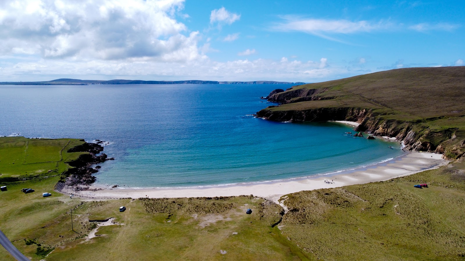
What is recorded here
Situated on a low ridge of level ground in otherwise lowlying pasture. Raised circular area (diam. 30.5m) enclosed by a wide, low bank of earth and stone (Wth. 3.8m - 4.5m; H 0.4m - 0.7m) with a shallow external fosse (Wth. 3.5m - 4m; D 0.3m). Break in bank at E (Wth. 3m) probably represents the original entrance.
Compiled by: Patrick F. O'Donovan
Date of upload: 19 January 2011
The monument record does not grant public access. Check the route and ask the landowner before entering private land.
- What survives
- Recorded monument
Places near here
 Enclosure in DooneenEnclosure · 648 yd
 Rathmulcah FortFairy fort / earthen ringfort · 893 yd
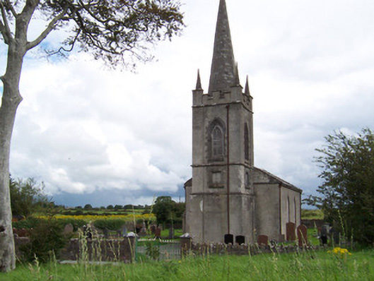 Killanly Church (Castleconor)church/chapel · 1100 yd
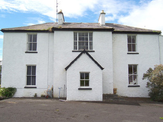 Moysdalerectory/glebe/vicarage/curate's house · 1186 yd
 Rinnachurry PointHeadland · 1547 yd
 Rosserk AbbeyHeritage attraction · 1743 yd
 Goose IslandIslet · 1.1 mi
 HawthornHawthorn · 1.1 mi
 Castleconnor (in Ruins)Castle, hall-house · 1.3 mi
 Ballysakeery CastleCastle, unclassified · 1.5 mi
 The Black PigMemorial · 1.8 mi
 Rinphilip PointHeadland · 1.8 mi
Other information
Photo: Credit not shown in the picture search · Rights wording not checked; contact us if this picture should be removed