
What is recorded here
In a graveyard (SL022-015002-), situated at the base of a narrow E-W valley adjacent to the N bank of a W-flowing stream. Milligan (ITA Survey 1942-4) recorded that this church is 'supposed to have been erected by St. Ainle or Fainle who lived in the 5th or 6th centuries'. The upstanding remains are of a very ruined, late medieval church (18.5m E-W; 9.5m N-S; Wall T 0.93m). Much of the stone from the church has been robbed and used to mark burials in the graveyard (sl022-015002-) within which it is located. The E wall contains a large, broken-out window opening. Only the lower portion of the W wall, which has a marked base batter but is otherwise featureless, is still extant. There is a short length of upstanding wall, containg a possible window opeining, at the E end of the S wall. Only the basal portion of the remainder of the S wall and the foundations of the N wall, punctuated by modern graves are still identifiable. A font (SL022-015003-) was removed from this church and its presnet location (SL022-014001-) is now in the modern Catholic church at Corballa in Rathglass townland.
Compiled by: Patrick F. O'Donovan
Date of upload: 19 January 2011
The monument record does not grant public access. Check the route and ask the landowner before entering private land.
- What survives
- Recorded monument
Places near here
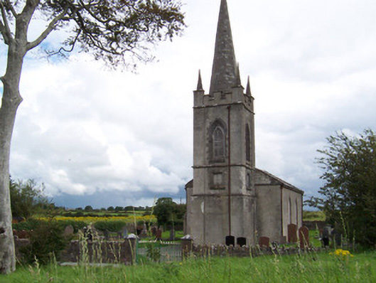 Killanly Church (Castleconor)church/chapel · 267 yd
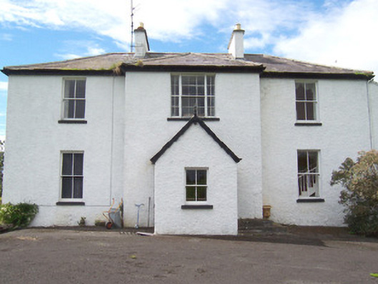 Moysdalerectory/glebe/vicarage/curate's house · 380 yd
 Rathmulcah FortFairy fort / earthen ringfort · 499 yd
 Castleconnor (in Ruins)Castle, hall-house · 1058 yd
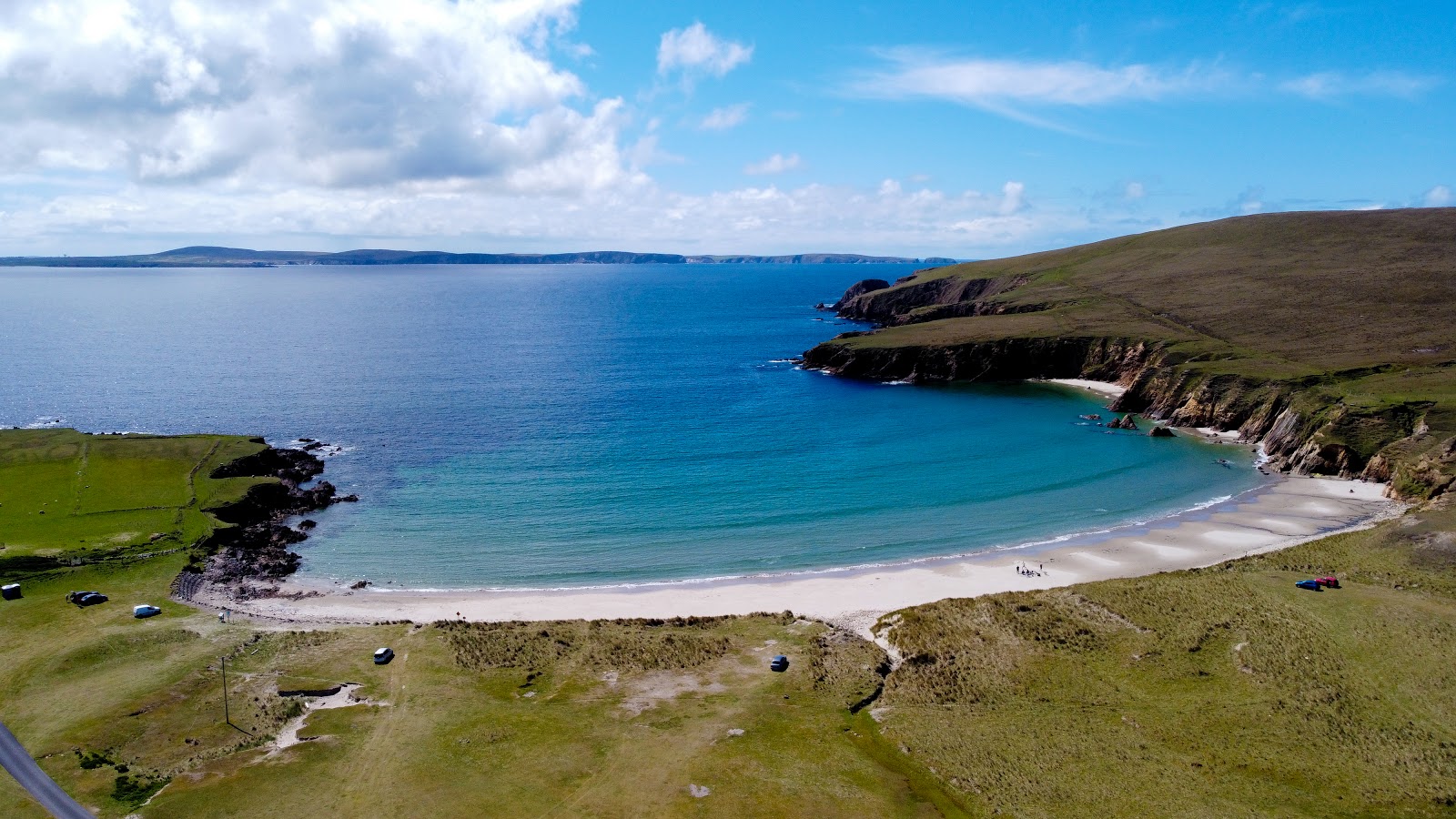 IndicatedFairy fort / earthen ringfort · 1367 yd
 Rosserk AbbeyHeritage attraction · 1369 yd
 HawthornHawthorn · 1379 yd
 Rinphilip PointHeadland · 1.1 mi
 Rinnachurry PointHeadland · 1.3 mi
 CastleCastle, unclassified · 1.4 mi
 Goose IslandIslet · 1.6 mi
 FloretteWreck · 2.3 mi
Other information
Photo: Credit not shown in the picture search · Rights wording not checked; contact us if this picture should be removed