What is recorded here
In Keerglen valley, S of Ballycastle, located on a small terrace on the lower slopes of the N side of the valley, overlooking the river. The terrain is rough, covered in blanket bog/rough pasture of heather, sedges, moor grasses and moss. At the base of the slope, the ground levels out to broad, flat grassy bay bordering the fast-flowing river, on the S side of which the valley slope rises abruptly.
This monument is not shown on the 1838 and 1921 OS 6-inch maps.
A rectangular structure (int. L 4.1m ENE-WSW; Wth c. 1.65m NNW-SSE) defined by stones, some large and set on edge, none rising more than 0.3-0.55m above ground, and built against the rising slope on the N side. Engulfed in heather/bog, it is difficult to examine and interpret. The long axis is aligned more or less ENE-WSW, but for convenience will be described here as if it were E-W.
The W side consists of a heather-covered, inward-facing scarp (H 0.3-0.4m), with a low, rounded stone (H 0.3m; L c. 0.4m NE-SW) and the tip of another stone visible at the SW corner.
The N long side is composed of at least three upright stones, their N sides concealed against the rising slope: At the W end of the N side is a large, slab-like stone (L c. 1m; H 0.55m) set on edge. Abutting the E end of this slab is a blocky stone (H 0.5m; L 0.38m NE-SW) which protrudes c. 0.35-0.4m to S into the interior space; and abutting the E side of the latter, is another slab-like stone (L c. 0.9m; H c. 0.3m). The E end of the N side appears to have been disturbed or cut back slightly; a stone of unknown size protrudes from the heather, seemingly offset to the N from the line of the other stones on the N side.
The E side is defined by two low, rounded stones (max. dim. 0.4-05m; H 0.3-0.45m) flanking a gap (Wth 0.65m), possibly an entrance.
The S long side features a large stone set upright on edge (L c. 1.4m; H 0.4m), positioned roughly mid-way along that side. Flanking it to E and W are linear clumps of heather, which appear to conceal low stones.
A large, upright stone (L c. 0.9m NE-SW; 0.27m NW-SW; H 0.6m), is located 0.8m S of SW corner of the structure.
A row of three close-set, low rounded stones (H 0.1-0.3m; max. dim. 0.2-0.6m) extend to SW from the SE corner of the structure.
There are no roofstones and no obvious sign of a cairn. A rough, E-W heather-covered scarp, a remnant of a field boundary, lies just over 2m to S of the structure, and other relict 18th/19th field banks/walls are nearby at W.
It is difficult to interpret this monument. It may be a vernacular structure, such as a hut site or animal pen, possibly associated with the settlement named Doondragon, shown c. 700m to E on the OS 6-inch maps.
However, the degree to which the stones are sunken in the bog suggests some antiquity. A number of the stones are megalithic in appearance, but others seem rather insubstantial. Currently the evidence is insufficient to classify it as a megalithic tomb, and the overall nature of the structure remains uncertain.
Compiled by: Jane O’Shaughnessy
The monument record does not grant public access. Check the route and ask the landowner before entering private land.
- What survives
- Recorded monument
Places near here
 Dragons GraveFairy fort / stone ringfort · 811 yd
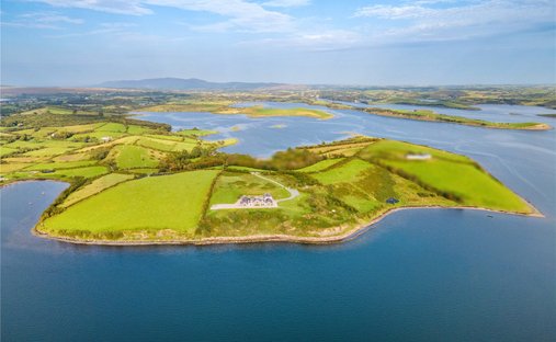 Enclosure in KeerglenEnclosure · 919 yd
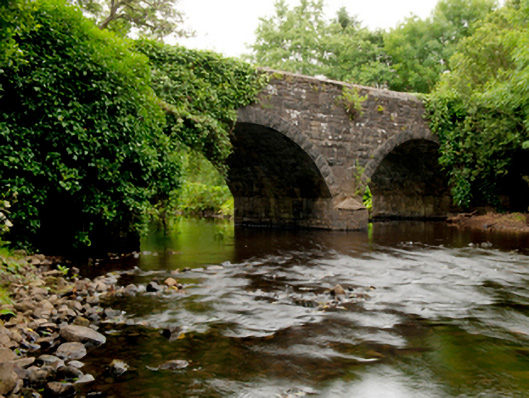 Ballinglen Bridgebridge · 1.7 mi
 Castle (in Ruins)Castle, tower house · 2.0 mi
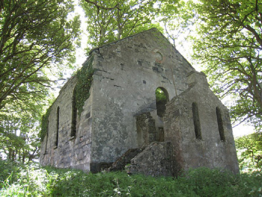 Ballinglen Presbyterian Churchchurch/chapel · 2.8 mi
 Lisheen Grave YardArchaeological place · 2.9 mi
 Ballycastle BeachBeach / strand · 4.3 mi
 Rathroe CastleCastle · 4.6 mi
 Céide FieldsArchaeological place · 4.9 mi
 BlowholeCliff · 5.2 mi
 Céide Fields Visitor CentreVisitor information · 5.3 mi
 Ceide FieldsHeritage attraction · 5.3 mi