DDiscover AloneMapAbout

Structure in Keerglen

Structure
Computer-made picture that does not show Structure in KeerglenNot a photo of this monument
Computer-made picture. It does not show this monument. · Report the wrong picture

What is recorded here

In Keerglen valley, S of Ballycastle, located on a small terrace on the lower slopes of the N side of the valley, overlooking the river. The terrain is rough, covered in blanket bog/rough pasture of heather, sedges, moor grasses and moss. At the base of the slope, the ground levels out to broad, flat grassy bay…

Read the whole record
In Keerglen valley, S of Ballycastle, located on a small terrace on the lower slopes of the N side of the valley, overlooking the river. The terrain is rough, covered in blanket bog/rough pasture of heather, sedges, moor grasses and moss. At the base of the slope, the ground levels out to broad, flat grassy bay bordering the fast-flowing river, on the S side of which the valley slope rises abruptly. This monument is not shown on the 1838 and 1921 OS 6-inch maps. A rectangular structure (int. L 4.1m ENE-WSW; Wth c. 1.65m NNW-SSE) defined by stones, some large and set on edge, none rising more than 0.3-0.55m above ground, and built against the rising slope on the N side. Engulfed in heather/bog, it is difficult to examine and interpret. The long axis is aligned more or less ENE-WSW, but for convenience will be described here as if it were E-W. The W side consists of a heather-covered, inward-facing scarp (H 0.3-0.4m), with a low, rounded stone (H 0.3m; L c. 0.4m NE-SW) and the tip of another stone visible at the SW corner. The N long side is composed of at least three upright stones, their N sides concealed against the rising slope: At the W end of the N side is a large, slab-like stone (L c. 1m; H 0.55m) set on edge. Abutting the E end of this slab is a blocky stone (H 0.5m; L 0.38m NE-SW) which protrudes c. 0.35-0.4m to S into the interior space; and abutting the E side of the latter, is another slab-like stone (L c. 0.9m; H c. 0.3m). The E end of the N side appears to have been disturbed or cut back slightly; a stone of unknown size protrudes from the heather, seemingly offset to the N from the line of the other stones on the N side. The E side is defined by two low, rounded stones (max. dim. 0.4-05m; H 0.3-0.45m) flanking a gap (Wth 0.65m), possibly an entrance. The S long side features a large stone set upright on edge (L c. 1.4m; H 0.4m), positioned roughly mid-way along that side. Flanking it to E and W are linear clumps of heather, which appear to conceal low stones. A large, upright stone (L c. 0.9m NE-SW; 0.27m NW-SW; H 0.6m), is located 0.8m S of SW corner of the structure. A row of three close-set, low rounded stones (H 0.1-0.3m; max. dim. 0.2-0.6m) extend to SW from the SE corner of the structure. There are no roofstones and no obvious sign of a cairn. A rough, E-W heather-covered scarp, a remnant of a field boundary, lies just over 2m to S of the structure, and other relict 18th/19th field banks/walls are nearby at W.    It is difficult to interpret this monument. It may be a vernacular structure, such as a hut site or animal pen, possibly associated with the settlement named Doondragon, shown c. 700m to E on the OS 6-inch maps. However, the degree to which the stones are sunken in the bog suggests some antiquity. A number of the stones are megalithic in appearance, but others seem rather insubstantial. Currently the evidence is insufficient to classify it as a megalithic tomb, and the overall nature of the structure remains uncertain.

From the National Monuments Service (Archaeological Survey of Ireland) record MA013-008

The monument record does not grant public access. Check the route and ask the landowner before entering private land.

What do you know about this place?Tap to add a comment or ask a question

What you write will be public.

Places near here

Photo credits
  • National Inventory of Architectural Heritage
  • Joe Cantwell, Wikimedia Commons
  • Kmcnamee, Wikimedia Commons · CC BY-SA 4.0
  • A McCarron, Wikimedia Commons · CC BY-SA 2.0
  • N Chadwick, Geograph · CC BY-SA 2.0
  • Liz McCabe, Wikimedia Commons · CC BY-SA 2.0
  • Ireland’s National Parks project; photographer not stated, Ireland’s National Parks project
  • Colin Park, Geograph · CC BY-SA 2.0
  • dougf, Wikimedia Commons · CC BY-SA 2.0
  • dougf, Geograph · CC BY-SA 2.0
  • Jed Revans, Wikimedia Commons · CC BY-SA 4.0
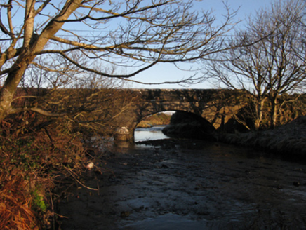
Ballinglen BridgeBridge · 1.7 mi

Explorer Tom Ballinglen Bridge is narrow and rock-faced, with an elegant sweep over the river that makes it look like it was…

Kilfian, Kilfian GAAGAA ground · 3.4 miKillerduff BridgeBridge · 4.2 mi

Explorer Tom Killerduff Bridge in Killerduff is showing off its limestone dressings, which are so sharp they could cut glass, or at…

Tom Langan Park, Ballycastle GAAGAA ground · 4.2 miCéide FieldsHeritage attraction · 5.2 mi

Explorer Tom The Céide Fields are under your boots, which is cheeky of them. Céide Fields has a habit of hiding its biggest feature…

Céide Fields Visitor CentreVisitor information · 5.3 mi

Explorer Tom Céide Fields Visitor Centre has this tall tale about a hidden tunnel to the pub going around. I’m not sure if it’s…
Ceide FieldsHeritage attraction · 5.3 mi

Explorer Tom Ceide Fields would write on its dating profile: 'Ancient, stone-walled, looking for someone who appreciates good…
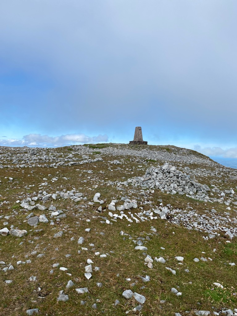
Slieve CarrMountain / peak · 15 mi

Explorer Tom Slieve Carr sits deep in County Mayo's Wild Nephin country, where mountains go looking for quiet. At 721 metres it is…

GlennamongMountain / peak · 20 mi

Explorer Tom Glennamong has a family tree that is mostly made up of rocks and wind, with very little actual genealogy to speak of.…

Fahy or Doona Castle in ruinsCastle, tower house · 24 mi

Explorer Tom Fahy or Doona Castle in ruins is hosting a fiddler who never left his post. He’s been playing since the last ice age…
HouseHouse, fortified house · 24 mi

Explorer Tom House in Fahy would be the awkward uncle at the wedding, standing by the cake with no idea what's happening. It just…

Inis BigilIsland · 26 mi

Explorer Tom Inis Bigil sits between Achill and the Mayo mainland, close enough for me to promise an easy crossing and wise enough…

More archaeology and monuments in County Mayo · All of County Mayo

Add to this placeAdd a picture Add a detailed tip Add a story

Explore the map1,095,414 places to discover

Next place · or swipeBallinglen Bridge