
What is recorded here
Situated in a gently undulating landscape. Archaeological testing (04E0925) by J. Roynane (2005) at Testing Area 2 of Contract 4 of the M3 motorway identified archaeological material (excavations.ie 2004:1245) that was excavated (E003122) by C. Duffy (2010) as Grange 4 in June to August 2006 (excavations.ie 2007:1323)…
Read the whole record
From the National Monuments Service (Archaeological Survey of Ireland) record ME024-036002
Places near here
Photo credits
- Maker not stated on source page, www.dreamstime.com
- Maker not stated on source page, www.pinterest.com
- Maker not stated on source page, www.airbnb.com.au
- Maker not stated on source page, en.wikipedia.org
- JP, Wikimedia Commons · CC BY-SA 2.0
- National Inventory of Architectural Heritage
- JP, Geograph · CC BY-SA 2.0
- Maker not stated on source page, www.achurchnearyou.com
- Kmcnamee, Wikimedia Commons · CC BY-SA 4.0
- Maker not stated on source page, uk.pinterest.com
 Graveyard in Grange (navan Lower By.)Graveyard · 498 yd
Explorer Tom Graveyard in Grange sits on a rise like it’s waiting for the rabbits to pay rent. They think the old tombstones are…
 Fairy fort / earthen ringfort in Ardbraccan,tankardstown (navan Lower By.)Fairy fort / earthen ringfort · 1109 yd
Explorer Tom Fairy fort / earthen ringfort in Ardbraccan, Tankardstown keeps getting winded because it can’t quite make up its mind…
 Durhamstown CastlePark · 1581 yd
Explorer Tom Durhamstown Castle in County Meath is really just 'Doomsday Town' if you squint hard enough and ignore reality…
 Enclosure in FaughanhillEnclosure · 1.0 mi
Explorer Tom Enclosure in Faughanhill is sitting on top of a hill pretending to be very important, but that ghost inside is too lazy…
 Ardbraccan HouseBishop's palace · 1.3 mi
Explorer Tom Ardbraccan House is where the Bishops lived before they realised they could just buy a flat in Dublin. The map makers…
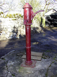 water pump1.5 mi
Explorer Tom Water pump in Ardbraccan is being ignored by rabbits who think it’s a fancy bench. It pumped water for centuries and…
 Saint Ultan's Church (Ardbraccan)Church/chapel · 1.5 mi
Explorer Tom Saint Ultan's Church (Ardbraccan) has seagulls that keep saying it’s too plain, which is rude for birds. It was built…
 St. Ultans ChurchChurch · 1.5 mi
Explorer Tom St. Ultans Church in Ardbraccan is named after a saint who wrote the lives of other saints, which is like being a…
 TombTomb, chest tomb · 1.5 mi
Explorer Tom This Tomb in Ardbraccan claims to be older than the concept of Tuesdays, which is frankly a stretch. It’s just a rock…
 St. Ultan's GAA pitchGAA ground · 1.6 mi
 Graveyard in LiscartanGraveyard · 1.9 mi
Explorer Tom Graveyard in Liscartan hears everything through its walls, including the river Blackwater humming a tune it’s been…
 Liscartan CastleCastle, tower house · 1.9 mi
Explorer Tom Liscartan Castle smells like old money and regret, according to Tom, which is basically the scent profile of every…
More archaeology and monuments in County Meath · All of County Meath

What do you know about this place?Tap to add a comment or ask a question