
What is recorded here
Off the brow of a hill, on a NE-facing slope that overlooked a small stream to the E. Excavated in 2007 in advance of the N9/N10 Kilcullen to Waterford road improvement scheme (Licence no. E3614). A possible structure (c. 3m x 4m) comprising a linear slot-trench (3.75m x 0.25m x 0.1m) containing sherds of early…
Read the whole record
From the National Monuments Service (Archaeological Survey of Ireland) record KK027-083
Places near here
Photo credits
- Maker not stated on source page, www.echolive.ie
- Maker not stated on source page, www.interment.net
- A.-K. D., Wikimedia Commons · CC0
- A.-K. D., Wikimedia Commons · CC BY-SA 4.0
- Mike Searle, Geograph · Creative Commons Attribution-ShareAlike 2.0
- Maker not stated on source page, ie.pinterest.com
- National Inventory of Architectural Heritage
- Eirian Evans, Geograph · CC BY-SA 2.0
- Maker not stated on source page, focusedcollection.com
- Dave Henderson, Wikimedia Commons · CC BY-SA 2.0
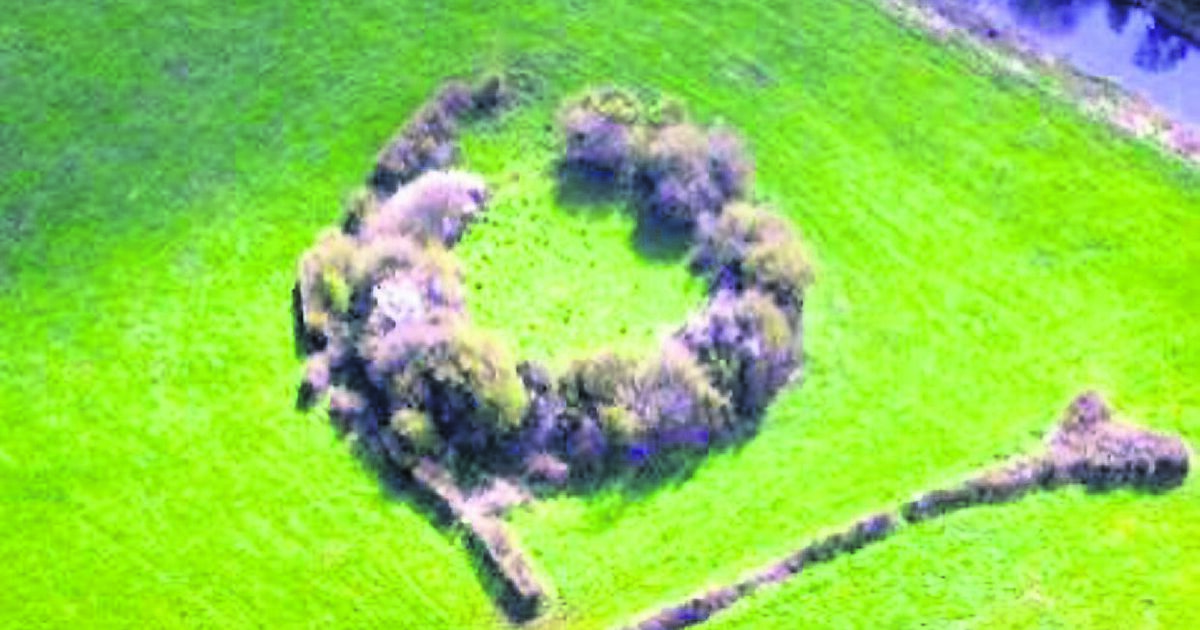 Fairy fort / earthen ringfort in EnnisnagFairy fort / earthen ringfort · 402 yd
Explorer Tom This fairy fort in Ennisnag is where a poet once fell in a ditch and wrote about it for three days straight, bless his…
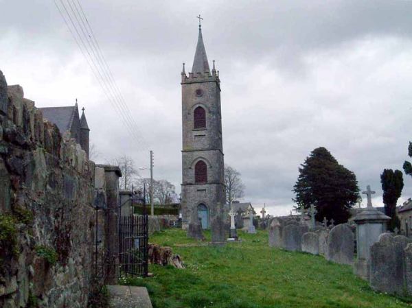 Flat cemetery in DanesfortFlat cemetery · 608 yd
Explorer Tom Flat cemetery in Danesfort has been on the weather's bad side for centuries. It’s a circle of pits that just gave up on…
 Ladys WellHoly well · 792 yd
Explorer Tom Ladys Well in Ballyda was run by a matchmaker who only set people up if they brought bread. Great crowds in August…
 Ballyda Holy WellSpring · 894 yd
Explorer Tom Ballyda Holy Well thinks the Dublin tourists are a bit much for its taste, especially when they try to take selfies…
 Danesfort HouseFolly · 1144 yd
Explorer Tom Danesfort House is really just a turret that lost its main body and now stands there looking smug about the view. A…
 CastleCastle, unclassified · 1.0 mi
Explorer Tom Castle in Danesfort has a curse that only affects people who don’t wave hello. James Earl of Ormond built it, so you’d…
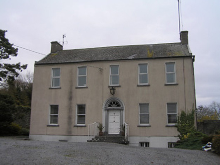 Ennisnag HouseMiller's house · 1.3 mi
Explorer Tom Ennisnag House is having a bit of a feud with the rain because its classical proportions are getting a little damp and…
 Kells Priory Mill MuseumMuseum · 1.7 mi
Explorer Tom Kells Priory Mill Museum is sitting there looking like it was about to be sold off for a horse at some point. It's been…
 Mapped graveyardGraveyard · 1.8 mi
Explorer Tom This Mapped graveyard in County Kilkenny survived a massive storm by pretending it wasn’t there at all. It’s been…
 Prior's TowerCastle · 1.8 mi
Explorer Tom Prior's Tower in County Kilkenny is basically a castle that forgot to show up to its own party. It’s got that 'I’m too…
 Kells Augustinian PrioryArchaeological place · 1.8 mi
Explorer Tom Kells Priory looks as though its monks expected to be asked for the keys to a fortress. Tower houses rise along the…
 Kells Loop WalkWalking route · 1.8 mi
Explorer Tom Kells Loop Walk is definitely hiding a biscuit tin from the 1700s, which I am sure you will find by day three. It runs…
More archaeology and monuments in County Kilkenny · All of County Kilkenny

What do you know about this place?Tap to add a comment or ask a question