What is recorded here
A circular enclosure delimited by a stone-built wall complete on all but the N side, where a field boundary cuts across it. Beyond this wall, the arc of the bank continues to be barely visible. To the W is a possible outer wall, which turns S to meet a field wall. To the N of this is a possible entrance in the form of a single 'jambstone' and a gap. This outer wall does not occur elsewhere but a natural drop on the W side, would have precluded the need for it. The interior is flat, with a low sub-rectangular foundation, fairly centrally placed and orientated E-W. There is also a small circular enclosure (DG012-033003-) abutting the bank on the inside to the E. There is no great depth of soil, and much outcrop occurs. A tradition believes the site to be an ecclesiastical enclosure and the rectangular structure an oratory. It is situated on a small platform on the W side of N-S ridge. The ground is rough but partly grass-covered.
The above description was derived from the 'Archaeological Survey of County Donegal. A description of the field antiquities of the County from the Mesolithic Period to the 17th century.' Compiled by: Brian Lacey with Eamon Cody, Claire Cotter, Judy Cuppage, Noel Dunne, Vincent Hurley, Celie O'Rahilly, Paul Walsh and Seán Ó Nualláin (Lifford: Donegal County Council, 1983). In certain instances the entries have been revised and updated.
Date of upload: 22 September 2008
The monument record does not grant public access. Check the route and ask the landowner before entering private land.
- What survives
- Recorded monument
Places near here
 Drumlee Stone RingfortFairy fort / stone ringfort · 1 yd
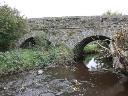 Milltown Bridgebridge · 1620 yd
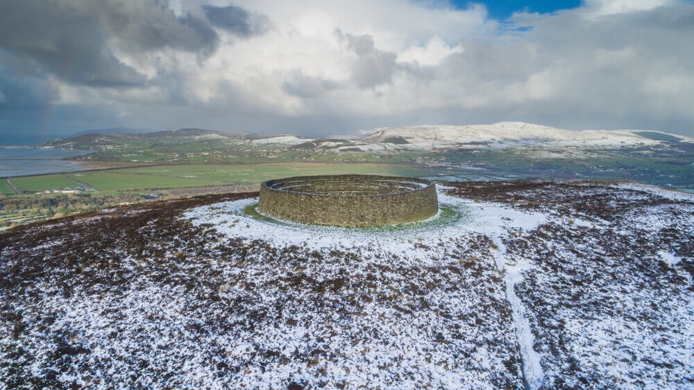 Leitrim Stone RingfortFairy fort / stone ringfort · 1651 yd
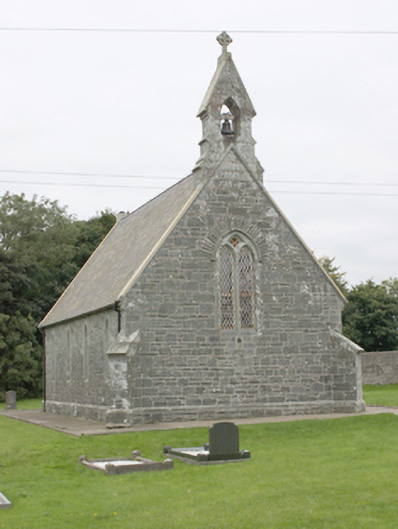 All Saints Church of Ireland Churchchurch/chapel · 1657 yd
 CrockavishaneMountain / peak · 2.9 mi
 Tremone BayBeach / strand · 3.0 mi
 CuldaffOfficial bathing water · 3.6 mi
 CastleCastle, unclassified · 4.3 mi
 CrockaulinMountain / peak · 4.5 mi
 Cooley CrossMemorial · 4.5 mi
 The Spanish Armada 1588Memorial · 4.5 mi
 Castle CaryCastle, unclassified · 4.9 mi