
What is recorded here
A series of features spread over a boggy S-facing hillslope. The most northerly (1 on location plan) consists of a hut-like feature 5m E-W × 4m N-S. It is defined by an earthen bank except for a 4m wide gap to the S. Three stones set on edge define this side. On the N of the site is an extensive low spread of grass…
Read the whole record
From the National Monuments Service (Archaeological Survey of Ireland) record DG028-010002
Places near here
Photo credits
- National Inventory of Architectural Heritage
- Maker not stated on source page, monumentalireland.ie
- Maker not stated on source page, www.pinterest.com
- Maker not stated on source page, ru.pinterest.com
- Kenneth Allen, Wikimedia Commons · CC BY-SA 2.0
- Maker not stated on source page, www.dailymail.co.uk
- Kenneth Allen, Geograph · CC BY-SA 2.0
- Maker not stated on source page, www.islands.com
- Ronnie Nijboer, Wikimedia Commons · CC0
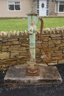 water pump1666 yd
Explorer Tom Water pump in Tirlaydan has a cow's-tail handle, though the whole thing is cast iron and needs no feeding. Erected…
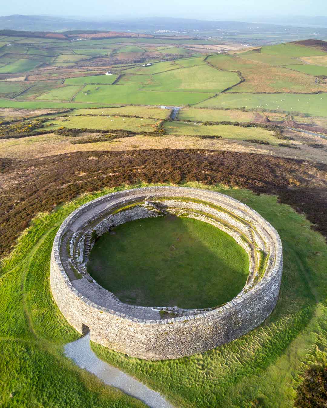 Fairy fort / ringfort in Anny Far and NearFairy fort / ringfort · 1.1 mi
Explorer Tom Fairy fort / ringfort in Anny Far And Near is officially gone, leaving just wettish land for sheep to trample. It’s a…
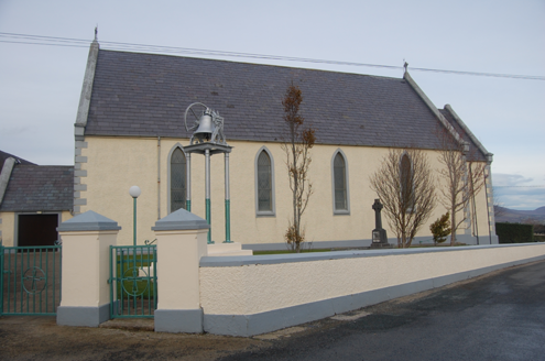 Saint Mary's Catholic ChurchChurch/chapel · 1.1 mi
Explorer Tom Saint Mary's Catholic Church in Tirlaydan was built in 1862 with tall pointed windows and a bronze bell on a separate…
 Meskanmeave Hill CairnCairn, unclassified · 1.1 mi
Explorer Tom Meskanmeave Hill Cairn sits on the summit with a view that makes your head spin. It’s a flat-topped ring of stones, but…
 Mapped graveyardGraveyard · 1.1 mi
Explorer Tom Mapped graveyard in County Donegal is locked in a bitter feud with the rain because it keeps washing its paint off…
 Enclosure in GortcallyEnclosure · 1.3 mi
Explorer Tom Enclosure in Gortcally is basically a historical ghost, since Kinahan noted it was leveled back in the day. It…
 Drumhallagh Upper Court TombCourt tomb · 1.3 mi
Explorer Tom Drumhallagh Upper Court Tomb is a proper gallery with two secret chambers staring out over Lough Swilly. The backstone…
 Children's Burial Ground below Cnoc RamhairChildren's burial ground · 1.4 mi
Explorer Tom This Children's Burial Ground below Cnoc Ramhair is a gentle spot marked by a white quartz block. It sits on a low rise…
 PortsalonOfficial bathing water · 3.4 mi
Explorer Tom Portsalon has a beach so gracefully curved that it looks as if Lough Swilly used a compass and then showed off.…
 Mc Swynes CastleCastle, unclassified · 3.8 mi
Explorer Tom Mc Swynes Castle fell in 1516, according to the Annals of the Four Masters, likely collapsing straight into the Lough…
 Rathmullan Wood Nature ReserveNature reserve · 3.9 mi
Explorer Tom Rathmullan Wood Nature Reserve starts with a surprise: great beech trees crowd the entrance, while the older oak…
 Wych Elm3.9 mi
Explorer Tom Wych Elm in County Donegal is just an elm, but it’s got presence, like it’s waiting for you to say the right thing.…
More archaeology and monuments in County Donegal · All of County Donegal

What do you know about this place?Tap to add a comment or ask a question