DDiscover AloneMapAbout

Structure in Clonaslee

Structure
Computer-made picture that does not show Structure in ClonasleeNot a photo of this monument
Computer-made picture. It does not show this monument. · Report the wrong picture

What is recorded here

Originally listed in the SMR of Laois as a possible castle site located to S of the Roman Catholic church at Clonaslee. However the structure located on the lands of Mr. John Moran was recorded by Henry Wheeler, Inspector of Monuments with the Office of Public Works in 1967 and was described as follows; 'On E bank of…

Read the whole record
Originally listed in the SMR of Laois as a possible castle site located to S of the Roman Catholic church at Clonaslee. However the structure located on the lands of Mr. John Moran was recorded by Henry Wheeler, Inspector of Monuments with the Office of Public Works in 1967 and was described as follows; 'On E bank of Clodiagh River. Piece of wall 2 ft. (0.6m) thick at existing top, height at present 3' 6"-4' (1.2m). Two offsets at base. Masonry of indeterminate character runs NW-SE. Visible for about 15' (4.5m). A pit has been dug for a tank just outside it (full of water to a depth of several inches). Traces of 2 other walls roughly at right angles in the yard of the owner. If so the exposed wall would be the N.E. side of a rectangular block. Owner thinks sides are c. 45' (13.7m) long, but I could not readily verify this. Bears no relationship to village street of Clonaslee or to oldish farm buildings at back which must be c. 150 years old. These overlie it and are different buildings. Wall is a bit thin for a castle. Water gushed from inside it. ? Water mill. 1839 edition of 6" OS map shows what seems to be this building: no indication of its purpose. It was roughly square, with small annexes at NW & SE corners: no building on street front : apparently a yard there' (SMR File 17 May 1967). The structure recorded in 1967 was deemed not to be the site of a castle and was delisted from the SMR for Co. Laois and was not listed in the RMP for Co. Laois. The site report from Henry Wheeler stated that it was located on the east bank of the Clodiagh River on the grounds of property owned by John Moran which is the site immediately adjoining the Clodiagh River to the N of the main street. See attached section of Laois RMP Map showing the delisted site. Compiled and revised by: Caimin O'Brien Date of upload/revision: 28 June 2022

From the National Monuments Service (Archaeological Survey of Ireland) record LA002-010

The monument record does not grant public access. Check the route and ask the landowner before entering private land.

What do you know about this place?Tap to add a comment or ask a question

What you write will be public.

Places near here

Photo credits
  • National Inventory of Architectural Heritage
  • Picture: laoisgaa.ie
  • Mike Searle, Geograph · CC BY-SA 2.0
  • Mooro1, Wikimedia Commons · CC BY-SA 4.0
  • ToniuBM, Wikimedia Commons
  • Killurin Community Alert and Development; photograph credited by filename to Ciara, surname not stated, www.killurincad.com
  • Wsiegmund, Wikimedia Commons · CC BY 2.5
  • Sarah777 at English Wikipedia, Wikimedia Commons · Public domain
  • A.-K. D., Wikimedia Commons · CC BY-SA 4.0
  • Brian Shaw, Wikimedia Commons · CC BY-SA 2.0
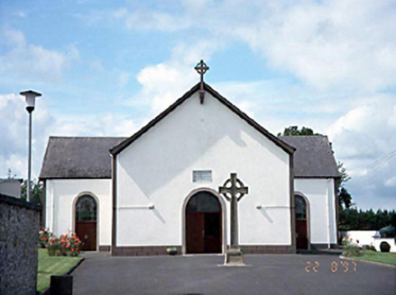
Saint Manman's Catholic ChurchChurch/chapel · 176 yd

Explorer Tom Saint Manman's Catholic Church in Clonaslee is a T-shaped relic from 1813 that still has its original fittings inside…
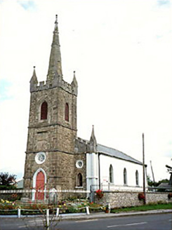
Clonaslee Heritage CentreChurch/chapel · 201 yd

Explorer Tom Clonaslee Heritage Centre ended up here after a drunk bishop misplaced his keys to the right church plot in 1814. It’s…
Clonaslee/St Manmans GAA pitchGAA ground · 333 ydBrittas HouseRuins · 1271 yd

Explorer Tom Brittas House in County Laois refuses to fall down because it’s too proud to admit the fire won in 1942. Just the tower…
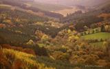
Slieve Bloom MountainsMountain range · 3.8 mi

Explorer Tom The Slieve Bloom Mountains are named because the fairies used them as a drying rack. Locals say the peaks actually glow…

Wolftrap MountainMountain / peak · 4.3 mi

Explorer Tom Wolftrap Mountain in the Slieve Blooms sounds as if it ought to have snapping jaws; what it actually has is a wet…

Killurin GAA pitchGAA ground · 4.8 miSitka Spruce5.3 mi

Explorer Tom Sitka Spruce in County Laois would tell Saint Patrick he was a tourist in his own country because of how tall it gets.…

Clonony CastleCastle, tower house · 18 mi

Explorer Tom Clonony Castle in Clonony More is playing hard to get, hiding in its rock outcrop like a shy elf. The locals swear…

Clonony Castle (in Ruins)Bawn · 18 mi

Explorer Tom Clonony Castle has a long list of former names that are all slightly embarrassing for its current status. The bawn wall…

Grave YardGraveyard · 19 mi

Explorer Tom Graveyard in Moystown Demesne was founded by a guy named Sárán who probably started the first big parish argument about…

Banagher TowerMartello tower · 20 mi

Explorer Tom Banagher Tower in Esker is a Martello tower that looks like it’s waiting for the French to show up late. It’s got a job…

More archaeology and monuments in County Laois · All of County Laois

Add to this placeAdd a picture Add a detailed tip Add a story

Explore the map1,095,414 places to discover

Next place · or swipeSaint Manman's Catholic Church