What is recorded here
Excavation (Licence nos. 06E0288ext. and 08E0032ext.) undertaken at the site in advance of the Ballycoolin road realignment indicated that the area close to the ‘site of’ Cappogue Castle (DU014-027---- ) was used for domestic occupation and agricultural activity during the medieval period. This monument was one of several possible structures identified and comprised foundations trenches that formed a rectangular building (11.7m x 6m) on an E-W axis. Pottery recovered from the vicinity indicates occupation during the 12th – 14th centuries (McQuade 2010, 76).
Compiled by: Christine Baker
Date of upload: 6 February 2015
The monument record does not grant public access. Check the route and ask the landowner before entering private land.
- What survives
- Recorded monument
Places near here
 Site of CastleCastle, tower house · 95 yd
 Enclosure in CappogeEnclosure · 197 yd
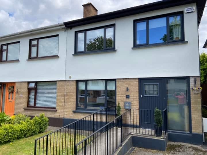 Habitation site in CappogeHabitation site · 335 yd
 Dunsink Observatoryobservatory/telescope · 1321 yd
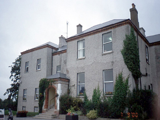 Elmgreenhouse · 1618 yd
 Liam Ó MaoilíosaMemorial · 1.3 mi
 Richard McKeeMemorial · 1.7 mi
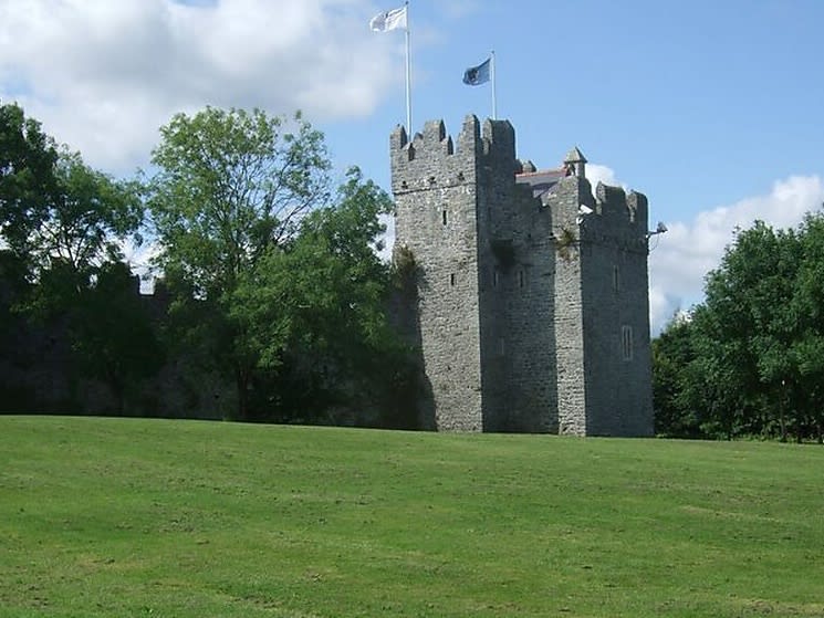 Dubber Castle (site of)Castle, unclassified · 1.9 mi
 Horizon Logistics ParkVisitor information · 2.5 mi
 BallymunVisitor information · 3.0 mi
 BaldcypressBaldcypress · 3.1 mi
 Dawn RedwoodDawn Redwood · 3.1 mi