
Places near here
Photo credits
- National Inventory of Architectural Heritage
- Nigel Thompson, Wikimedia Commons · CC BY-SA 2.0
- Mike Searle, Geograph · CC BY-SA 2.0
- Brendan Moran / Sportsfile, www.sportsfile.com
- Ballinrobe GAA Club; individual photographer not stated, www.ballinrobegaaclub.com
- Steve & Jemma Copley on Flickr, Wikimedia Commons · CC BY-SA 2.0
- Yosemite, Wikimedia Commons · CC BY-SA 3.0
 Loughmask HouseGates/railings/walls · 1007 yd
Explorer Tom Loughmask House is a gateway structure that sits proudly at the entrance to the estate grounds in Caherloughlin. It’s…
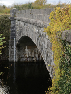 Carrownagower BridgeBridge · 1.1 mi
Explorer Tom Carrownagower Bridge gave up sugar for Lent, not its stone arches. The County built it to look elegant, which is…
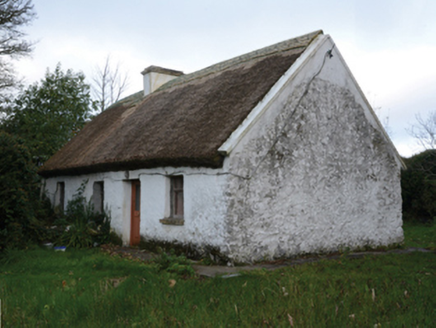 farm house1.1 mi
Explorer Tom Farm house in Castletown [kilm. by. B.chal. Ph.] in Castletown [Kilm. By. B.Chal. Ph.], County Mayo would bring a wheel…
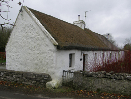 White O'MornFarm house · 1.1 mi
Explorer Tom White O'Morn in Castletown is doing its best impression of a stone fortress that’s actually just very shy. It’s got…
 Neale Church (Ballinchalla-Kilmolara)Church/chapel · 1.6 mi
Explorer Tom Neale Church would cope fine on a reality show by just standing there and letting everyone else be dramatic. It’s a…
 Neale CemeteryCemetery · 1.6 mi
Explorer Tom Neale Cemetery in Mayo was supposedly invented by a local lad who just needed somewhere to park his tractor…
 Neale HouseMonument · 1.7 mi
Explorer Tom Neale House is a pyramid folly that thinks it’s way cooler than it actually is. Built in 1750, it’s just a big rock…
 The Gods of the Neale MonumentMonument · 1.9 mi
Explorer Tom The Gods of the Neale Monument in County Mayo hosted a dance once where people went too far into the night. They danced…
 Páirc Naomh Feichin, Cunga, The Neale GAAGAA ground · 3.1 mi
 Flanagan Park, Ballinrobe GAAGAA ground · 3.3 mi
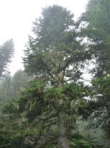 Silver Fir3.3 mi
Explorer Tom Silver Fir in County Galway is standing there acting like it invented the concept of looking mysterious. Apparently, if…
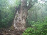 Japanese cedar3.5 mi
Explorer Tom Japanese cedar in County Galway is a tree that would tell its younger self to stop worrying about the wind. It’s tall…
More archaeology and monuments in County Mayo · All of County Mayo

What do you know about this place?Tap to add a comment or ask a question