
What is recorded here
In pasture, located at the N edge of on a broad, low hill or elevation of dry, grass-covered ground, surrounded at NW–S by lowlying, heather and rush-grown boggy ground. A subcircular, or roughly square, grass-covered mound or platform (c. 5m NNW–SSE; 4m ENE–WSW; H 0.7-0.8m) defined around its perimeter at W, N and E…
Read the whole record
From the National Monuments Service (Archaeological Survey of Ireland) record SL017-097001
Places near here
Photo credits
- Maker not stated on source page, www.alamy.com
- Maker not stated on source page, www.pinterest.com
- National Inventory of Architectural Heritage
- Maker not stated on source page, www.youtube.com
- Maker not stated on source page, tr.pinterest.com
- Kmcnamee, Wikimedia Commons · CC BY-SA 4.0
- Maker not stated on source page, www.flickr.com
- Easkey GAA (official club account publisher); individual photographer not named, x.com
 Portal tomb in CamcuillPortal tomb · 108 yd
Explorer Tom Portal tomb in Camcuill has had so many names it could write a biography, but it was mostly buried by spoil before…
 CairnCairn, unclassified · 128 yd
Explorer Tom Cairn in Bellafarney sits at the corner of two walls like it's guarding the perimeter of its own little stone kingdom.…
Portal tomb in KnockanbaunPortal tomb · 720 ydExplorer Tom Portal tomb in Knockanbaun is just lying there looking confused, probably wondering why no one brought it chips. It’s…
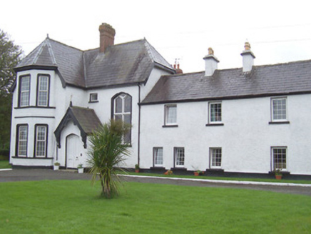 Camphill HouseHouse · 1448 yd
Explorer Tom Camphill House in Camcuill is locked in a fairy dispute over who gets to park their carriage by the porch. The steep…
 Fairy fort / earthen ringfort in CamcuillFairy fort / earthen ringfort · 1709 yd
Explorer Tom Fairy fort / earthen ringfort in Camcuill has a name that probably means 'Where the Cow Slipped', or maybe 'Big Rock of…
 Mapped cemeteryCemetery · 1.3 mi
Explorer Tom Mapped cemetery has had so many names that it’s just given up and let the map decide for it now. It’s like a chameleon…
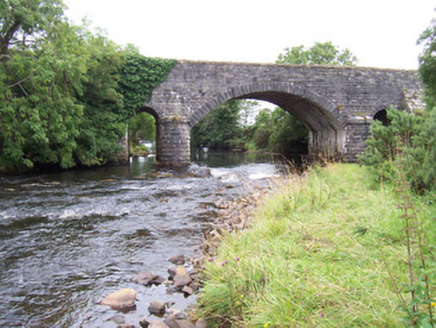 bridge1.3 mi
Explorer Tom The Bridge in Camcuill has a ghost that lives under it but refuses to haunt anyone because he finds the whole screaming…
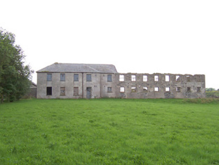 Dromore West Union WorkhouseWorkhouse · 1.4 mi
Explorer Tom Dromore West Union Workhouse thinks Saint Patrick would have called it 'a bit of a stretch' for a place where people…
 Court tomb in BallynahownaCourt tomb · 1.7 mi
Explorer Tom The Court tomb in Ballynahowna makes a weird knocking sound at night if you listen closely enough, or maybe that's just…
 St. Farnan's Park, TempleboyGAA ground · 4.5 mi
 CastleCastle, unclassified · 4.8 mi
Explorer Tom Castle in Finned, County Sligo holds a fake world record for being the hardest castle to find because it refuses to…
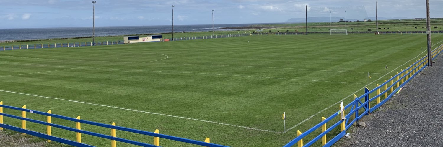 Easkey GAAGAA ground · 4.9 mi
More archaeology and monuments in County Sligo · All of County Sligo

What do you know about this place?Tap to add a comment or ask a question