
What is recorded here
Limestone marker, erected 1843. Tooled rectangular slab with half-round head, inscription partially eroded "BOROUGH BOUNDARY 1843 SAINT LAWRENCE GAATE WARD THOS CARTY ESQR" set in footpath against south parapet of bridge.
This stone marks the historical boundary of St. Lawrence Gate Ward. This interesting artifact charts the changing divisions of land in Drogheda and is a piece of street furniture which adds to the diversity of the Marsh Road streetscape.
This does not grant access. Most recorded buildings are privately owned; view them only from public ground unless the owner allows entry.
Places near here
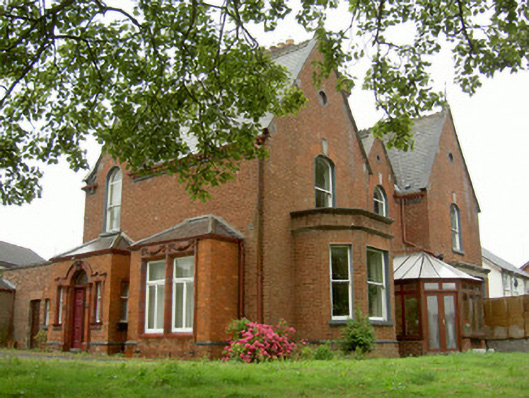 Sycamore Househouse · 392 yd
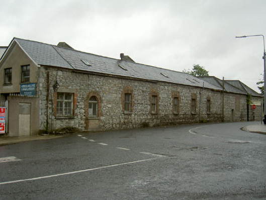 mill (water)mill (water) · 395 yd
 Cord Burial ground, chapel (in ruins)Church · 603 yd
 Old Drogheda GaolArchaeological place · 1032 yd
 Siege of Droghedasiege · 1299 yd
 The ThoselMemorial · 1302 yd
 Millmount MuseumMuseum · 1313 yd
 Magdalene TowerCastle · 1384 yd
 St. Peter's ChurchMemorial · 1423 yd
 Site of Old CastleCastle, unclassified · 1.6 mi
 Beaulieu House and GardensHeritage attraction · 1.8 mi
 Yellow IslandIslet · 2.8 mi
Other information
Photo: National Inventory of Architectural Heritage · Website use allowed for educational or private purposes with source credit