
What is recorded here
Strand Barracks now has homes beyond the carriage arch where soldiers once entered. That is quite a retirement for a military entrance: spending years demanding ‘Who goes there?’ and ending up hoping somebody remembered their key.
Detached U-plan nine-bay two-storey limestone former workhouse, built in 1774, with a central entrance breakfront with carriage arch. Formerly used as a barracks and converted to residential development, c. 1995. Hipped artificial slate roof with uPVC rainwater goods. Multiple skylights to roof and replacement rendered chimneystacks, c. 1995. Limestone ashlar façade with rusticated quoining to sides, and cyma recta profiled limestone ashlar eaves course on which gutters sit. Coursed rubble limestone site elevation with localised brick infill. Widespread use of cement re-pointing. Painted rendered walls to breakfront with parapet wall cornice and window to recessed arch head. Exposed limestone quoins to arch reveals, with modern steel gates. Camber-headed window openings, each having limestone voussoirs, keystone, and sills. Brick formed window openings to courtyard elevation, c. 1995, with uPVC windows throughout. Relieving arch with keystone over window to third and seventh bays. Camber-headed door opening each having limestone voussoirs, keystone and threshold steps, rendered reveals and plank timber doors with glazed overlights, c. 1995.
Built in reaction to legislation introduced to establish houses of industry (poorhouses and work houses) in all counties in 1772. Designed by Rev. Deane Hoare, 1774. After 1840 it became the Strand Barracks and in 1920s became a corporation store and offices. A substantial stone building enclosing a courtyard accessed through a central carriage arch, forming a symmetrically designed sombre classical composition. It is of great social and historical significance and adds to the streetscape along the River.
From the Buildings of Ireland (National Inventory of Architectural Heritage) record 21512018
This does not grant access. Most recorded buildings are privately owned; view them only from public ground unless the owner allows entry.
Places near here
Photo credits
- National Inventory of Architectural Heritage
- Gareth James, Geograph · CC BY-SA 2.0
- Bjørn Christian Tørrissen, Wikimedia Commons · CC BY-SA 3.0
- N Chadwick, Geograph · Creative Commons Attribution-ShareAlike 2.0
- Roland Czaczyk ( FreeBird 19:17, 23 December 2006 (UTC)), Wikimedia Commons · Public domain
- Mike Shinners, Wikimedia Commons · CC BY-SA 2.0
- Angella Streluk, Geograph · CC BY-SA 2.0
- Colin Park, Geograph · CC BY-SA 2.0
- Henry Edward Doyle, Wikimedia Commons · Public domain
- Charles Oliver Murray, Wikimedia Commons · Public domain
- N Chadwick, Geograph · CC BY-SA 2.0
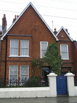 MignonHouse · 42 yd
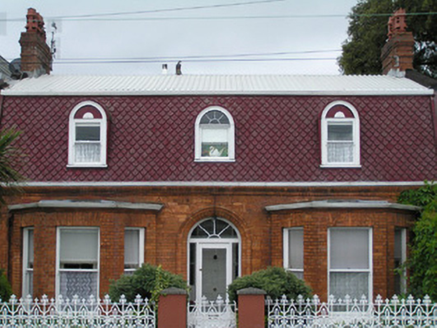 Les CharmillesHouse · 53 yd
 Shannon IslandIslet · 280 yd
 The Treaty StoneMemorial · 295 yd
 Merchants QuayQuay · 321 yd
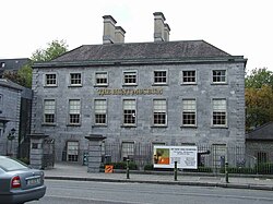 Hunt MuseumMuseum · 348 yd
 King John's CastleHeritage attraction · 381 yd
 Castle BarracksCastle, Anglo-Norman masonry castle · 387 yd
 CastleCastle, ringwork · 413 yd
 Siege of LimerickSiege · 440 yd
 Siege of LimerickSiege · 440 yd
 Michael HoganMemorial · 453 yd
More historic places in County Limerick · All of County Limerick
What do you know about this place?