What is recorded here
No amount of staring will make the faint ridge disappear, nor will misreading the name. The fort is real, dated, measured and recorded. That is enough to stop inventing a story about it.
Internal diam. 28.5m. An earthen platform enclosed by a barely perceptible bank, a fosse and an outer bank. There is no fosse or outer bank to the NW. Instead a terrace below the platform gives on to a steep slope to a stream below. It is situated in a valley of poor pasture but fairly well wooded.
The above description was derived from the 'Archaeological Survey of County Donegal. A description of the field antiquities of the County from the Mesolithic Period to the 17th century.' Compiled by: Brian Lacey with Eamon Cody, Claire Cotter, Judy Cuppage, Noel Dunne, Vincent Hurley, Celie O'Rahilly, Paul Walsh and Seán Ó Nualláin (Lifford: Donegal County Council, 1983). In certain instances the entries have been revised and updated.
Date of upload: 22 September 2008
The monument record does not grant public access. Check the route and ask the landowner before entering private land.
- What survives
- Recorded monument
Places near here
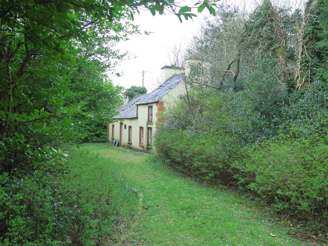 The Laurelshouse · 613 yd
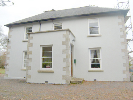 Stranakivilin Househouse · 671 yd
 St. Connell's Museum and Heritage CentreMuseum · 1341 yd
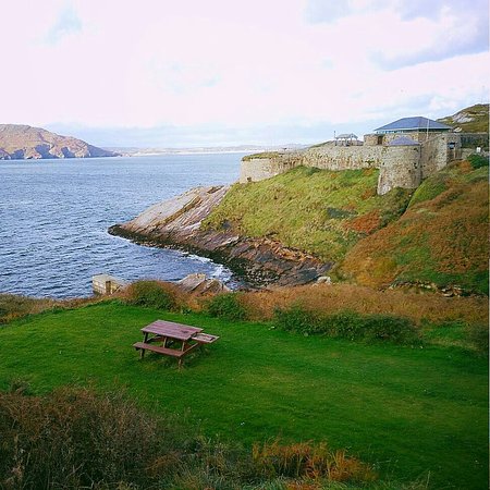 Drumnasillagh Inland Promontory FortPromontory fort, inland · 1.1 mi
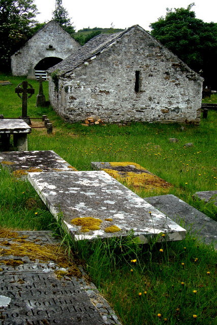 Inishkeel Graveyard near GlentiesGraveyard · 1.5 mi
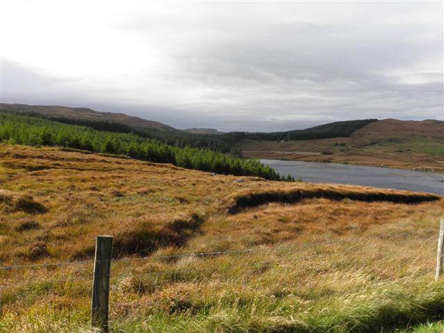 Derkmore Wood Nature ReserveNature reserve · 2.2 mi
 Kilrean Upper Fairy FortFairy fort / earthen ringfort · 2.2 mi
 Wych ElmWych Elm · 2.7 mi
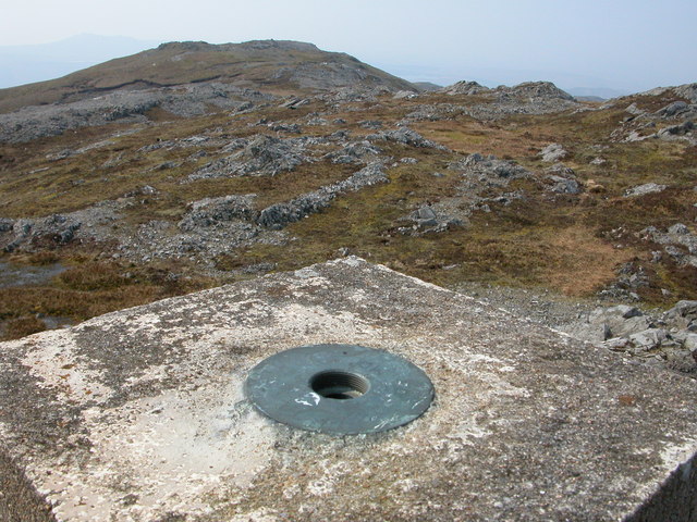 Aghla Mountain South TopMountain / peak · 5.0 mi
 Bonny Glen Wood - Bonny Glen walkOfficial walking route · 5.1 mi
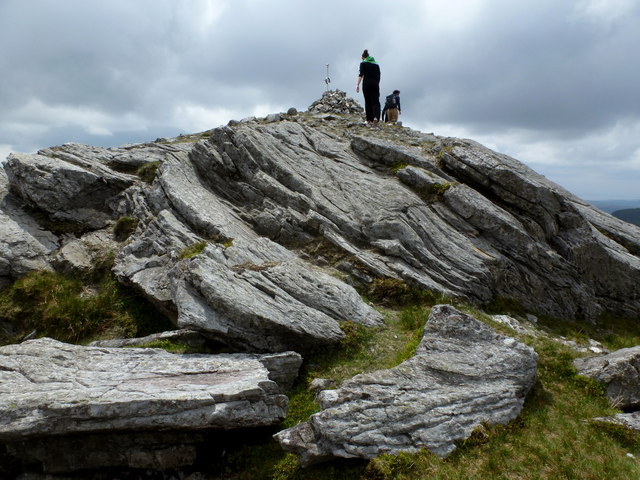 CarnaweenMountain / peak · 5.2 mi
 Dermot & Grania's BedCave · 5.3 mi