What is recorded here
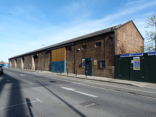
Detached six-bay double-height former warehouse, built c.1880, now disused. Pitched slate roof having cast-iron rainwater goods with flush square-profile cast-iron downpipes, yellow brick eaves course and brown brick coping to gables. Red brick walls, laid in English garden wall bond having bull-nosed brown brick and ashlar granite quoins. Square-headed window openings with cast-iron fixed pane windows. Segmental-headed door openings having bull-nosed brown brick and ashlar granite reveals, timber battened sliding doors hung on cast-iron rollers to front (south) elevation, some recently removed. Square-headed openings to rear (north) elevation with brown brick quoins, now blocked. Square-headed door opening having steel security door to west end. Square-headed door to front with recent steel roller shutter. Stone setts and inset cast-iron rails to west. Located on campshire on Sir John Rogerson’s Quay.
A quayside warehouse with a different footprint is shown on the second edition Ordnance Survey map, indicating that the current structure postdates the rebuilding of the quay. It is a notable reminder of the trade associated with the quays. Ashlar granite dressings and moulded brickwork attest to the high level of skill and artisanship employed in the composition, as well as adding colour and textural variation to the façade. Along with the quay walls, the adjoining warehouse to the east, and the diving bell, it is part of a significant group which adds to the city's maritime heritage. Sir John Rogerson’s Quay was laid out in the early eighteenth century, on land which had been owned by John Rogerson, a member of the city council and Lord Mayor of Dublin, in 1713. It was the most ambitious of the privately funded quay developments in the eighteenth-century. The quay walls were rebuilt on two occasions, once in the 1820s and subsequently in 1869 as part of the deepening of the channel along this part of the River Liffey.
This does not grant access. Most recorded buildings are privately owned; view them only from public ground unless the owner allows entry.
Places near here
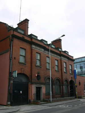 officeoffice · 24 yd
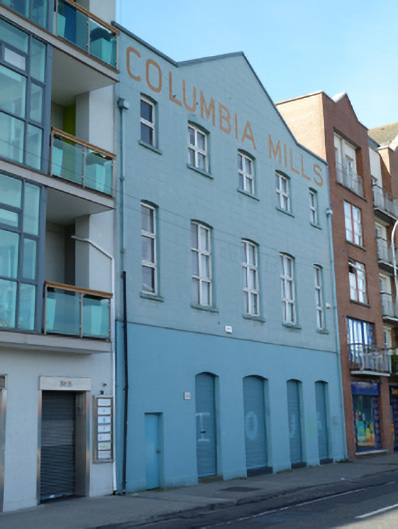 Columbia Millsmill (water) · 105 yd
 Samuel Beckett BridgeVisitor information · 218 yd
 Quay in Unknown TownlandQuay · 232 yd
 Jeanie JohnstonMuseum · 317 yd
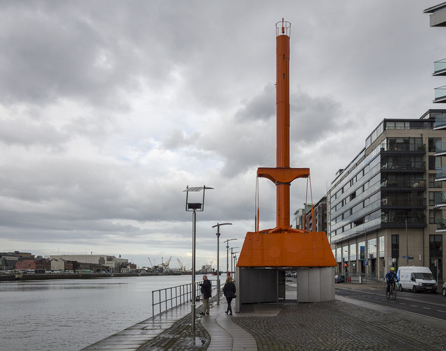 Dublin Port Diving Bell and Visitors CentreHeritage attraction · 321 yd
 Elizabeth O'Farrell ParkMemorial · 376 yd
 Martin DohertyMemorial · 426 yd
 17 October UN International Day for the Eradication of PovertyMonument · 513 yd
 ConciergeVisitor information · 545 yd
 Burning of the Custom Housearmed conflict · 785 yd
 Bigleaf MapleBigleaf Maple · 907 yd
Other information
Photo: National Inventory of Architectural Heritage · Website use allowed for educational or private purposes with source credit