
What is recorded here
Stookeen Fort is a ruined stone ringfort in rough Cork pasture, its circular wall crashed to knee height on a south-east slope. Large boulders still mark the inner and outer faces at the north-east, while a later wall follows the old line to the north-west. An underground passage cuts through the interior, suggesting the site was more than a boundary heap. People may have lived, hidden or worshipped there before the wall fell, but the stones no longer say which.
In rough pasture, on break in SE-facing slope. Roughly circular area (19m N-S; 18m E-W) enclosed by ruined stone wall (H 0.65m; Wth 1.5m); overgrown; some large boulders visible to NE forming inner and outer facing with rubble core. Later wall built on line of ruined cashel wall to NW. Man-made underground passage (CO142-054002-) in interior.
The above description is derived from the published 'Archaeological Inventory of County Cork. Volume 1: West Cork' (Dublin: Stationery Office, 1992). In certain instances the entries have been revised and updated in the light of recent research.
Date of upload/revision: 14 January 2009
Stookeen Fort is a roughly circular early-medieval ringfort, likely dating to between the 6th and 10th centuries, characterized by a ruined stone wall and situated on a south-east-facing slope. Local folklore, common to many such sites in West Cork, may associate it with fairy legend or ancient druidic activity, though specific traditions are not recorded.
The monument record does not grant public access. Check the route and ask the landowner before entering private land.
- What survives
- Recorded monument
Places near here
 Castle IreCastle · 455 yd
 Séipéal an StuaicínArchaeological place · 576 yd
 RC Chap (in Ruins)Church · 585 yd
 The Old Schoolhouseschool · 616 yd
 GleannWood · 752 yd
 IndicatedFairy fort / earthen ringfort · 806 yd
 Leaca RiabhachWood · 914 yd
 Oileáin CraobhachIslet · 1384 yd
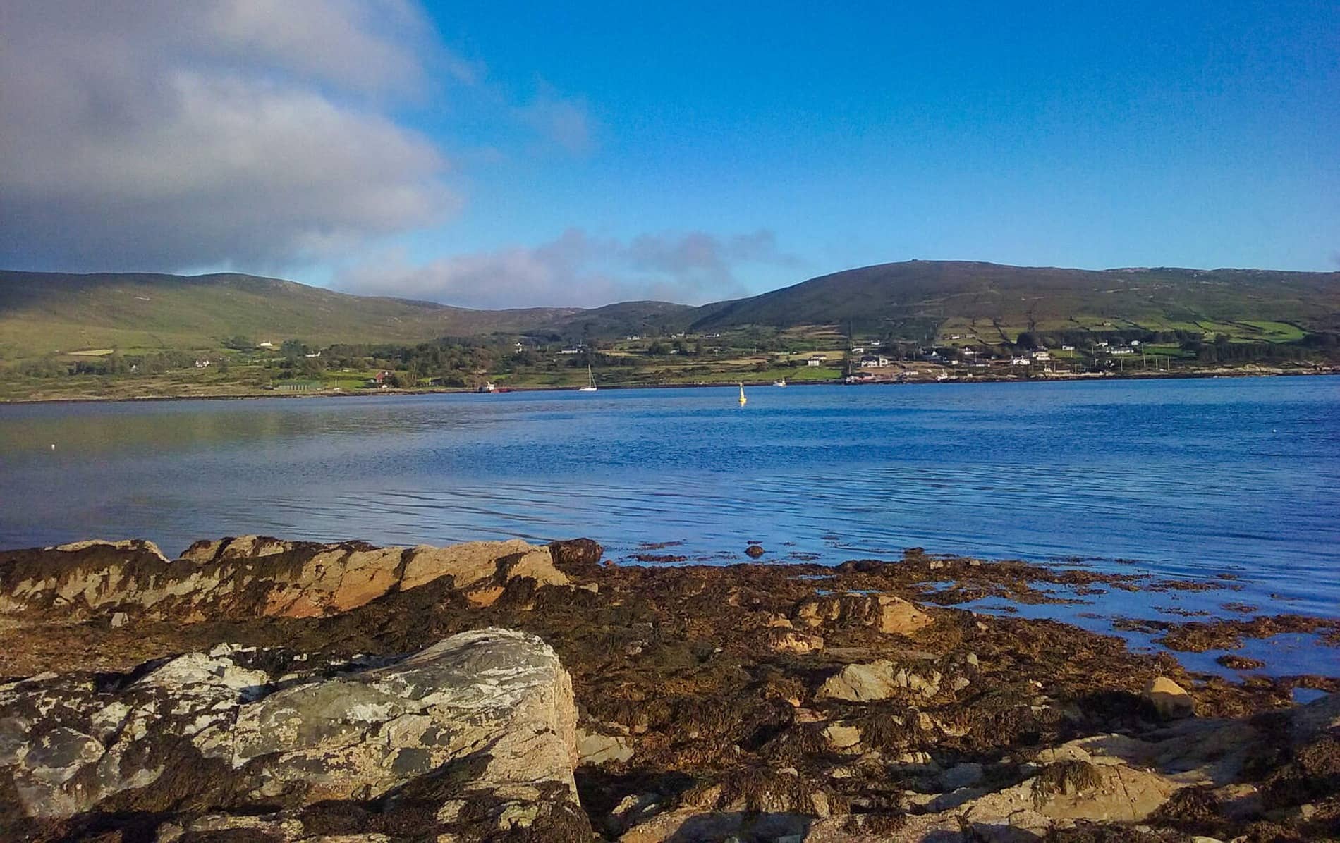 Rodger's IslandIslet · 1438 yd
 Raheen CastleCastle · 1562 yd
 Cuaisín a' TarbhBay · 1567 yd
 Tobar na gCapallSpring · 1751 yd
Other information
Photo: Credit not shown in the picture search · Rights wording not checked; contact us if this picture should be removed