
What is recorded here
Roadside remains church; indicated on OS 6-inch map (1842) as "Stookeen R.C. Chapel (in Ruins)". Southern arm (int. 6.2m N-S; int. 6.1m E-W; wall thickness 0.75m) of church survives, with pointed window in S gable; arched door ope in W wall, both flanked by pilasters. String course runs along external elevation at H c. 1.6m. Traces E-W section of church survive with engaged columns forming frame of door ope. Church probable T-shaped; cruciform on OS 6-inch map (1842).
The above description is derived from the published 'Archaeological Inventory of County Cork. Volume 1: West Cork' (Dublin: Stationery Office, 1992). In certain instances the entries have been revised and updated in the light of recent research.
Date of upload/revision: 14 January 2009
The monument record does not grant public access. Check the route and ask the landowner before entering private land.
- What survives
- Recorded monument
Places near here
 Séipéal an StuaicínArchaeological place · 9 yd
 Famine WallRuins · 307 yd
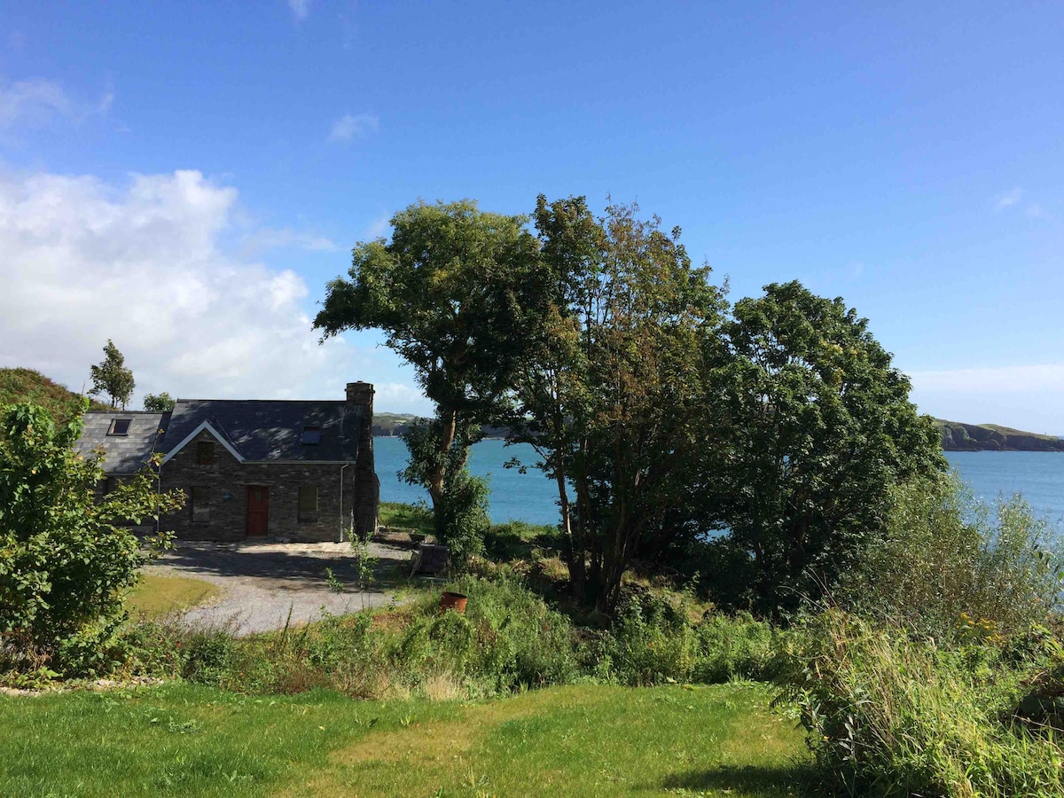 IndicatedField boundary · 320 yd
 Rineen Forest Recreation AreaWood · 473 yd
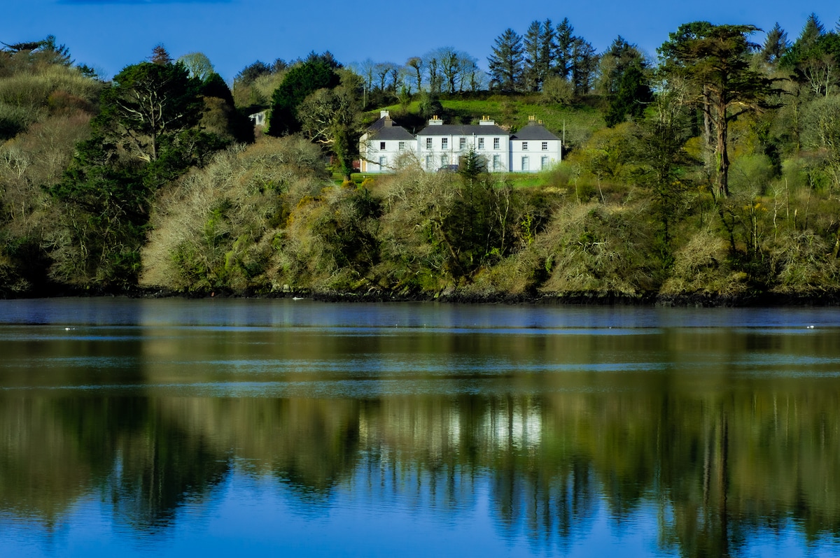 Church in Bawnlahan (carbery West (w.d.) By., Myross Par.)Church · 699 yd
 Leaca RiabhachWood · 712 yd
 Oileáin CraobhachIslet · 827 yd
 Castle IreCastle · 886 yd
 Cuaisín a' TarbhBay · 1016 yd
 Nancy's HillMountain / peak · 1263 yd
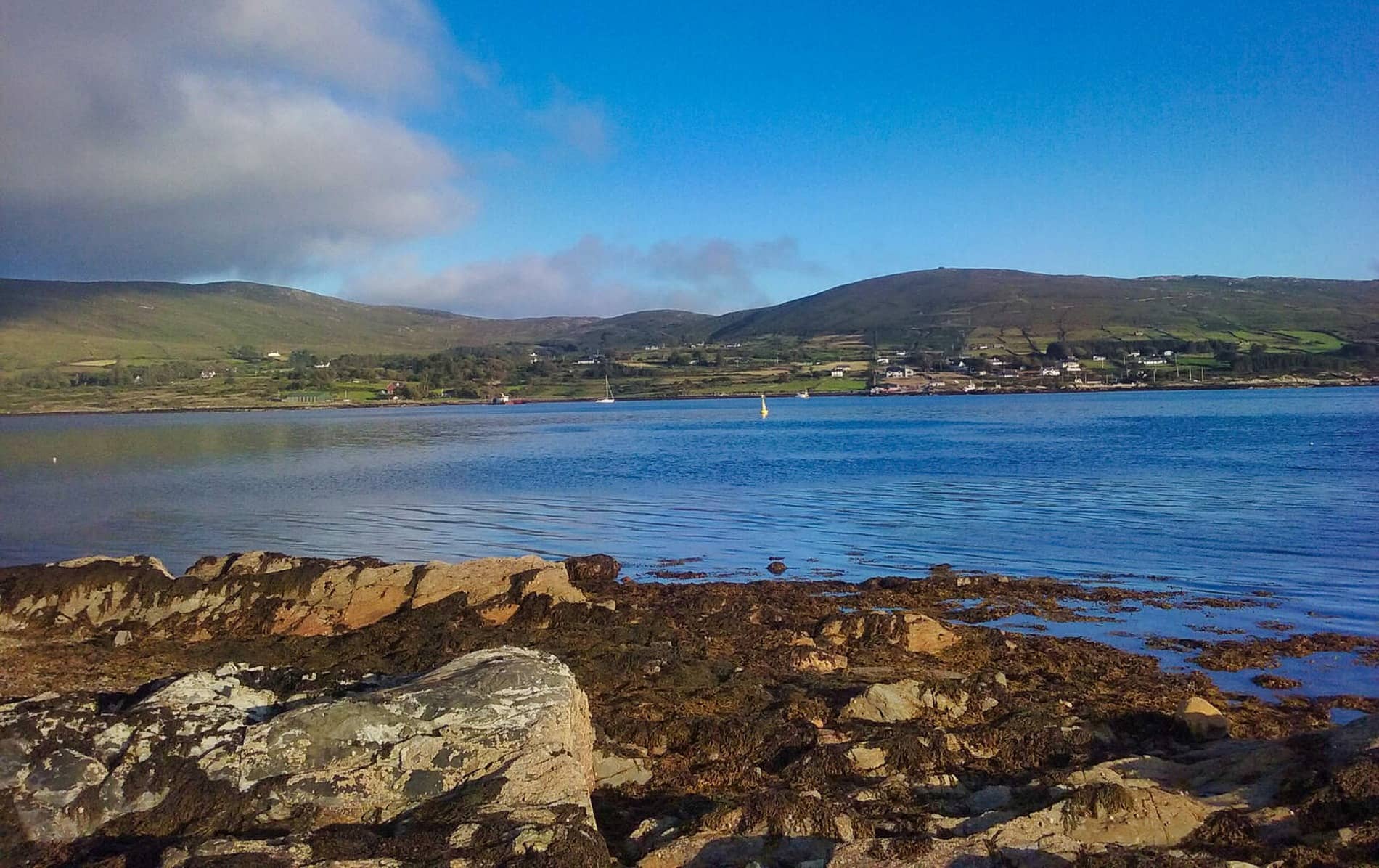 Rodger's IslandIslet · 1285 yd
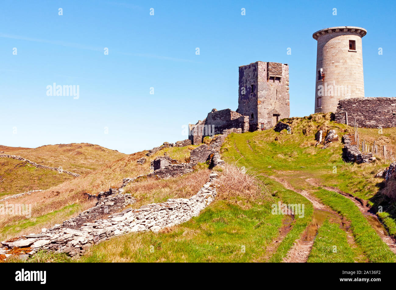 LookoutMountain / peak · 1386 yd
Other information
Photo: Credit not shown in the picture search · Rights wording not checked; contact us if this picture should be removed