What is recorded here
A stone trough consisting of an oval shaped limestone trough (L 0.9m x B 0.6m x T 0.05m; H 0.35m), the spout or opening at one end has a face carved into the end of the trough (Feehan 1979, 159-62). The trough probably dates from the post-AD 1700 period.
Compiled by: Caimin O'Brien
Date of upload: 23 May 2011
The monument record does not grant public access. Check the route and ask the landowner before entering private land.
- What survives
- Recorded monument
Places near here
 Enclosure in Cumber LowerEnclosure · 495 yd
 IndicatedHillfort · 1289 yd
 Cumber HillMountain / peak · 1293 yd
 Saint Dominick's WellSpring · 1377 yd
 KnocknamanMountain / peak · 1695 yd
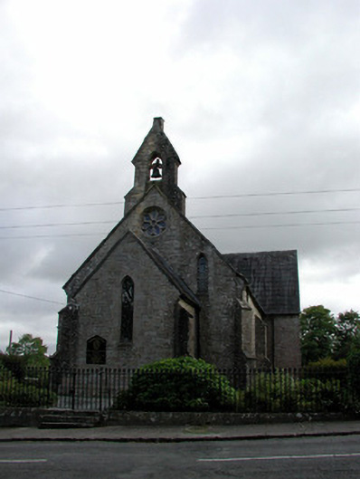 Saint Finnian's Church (Kinnitty)church/chapel · 1.1 mi
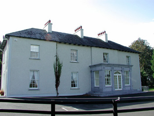 The Rectoryrectory/glebe/vicarage/curate's house · 1.1 mi
 Kinnitty ForestForest · 1.2 mi
 Waypoint 1Visitor information · 1.6 mi
 Derrykeel WoodWood · 1.7 mi
 OutlinedCastle, motte · 1.7 mi
 Slieve Bloom Mountain Bike TrailVisitor information · 1.7 mi