What is recorded here
Kinahan recorded three stones in 1889, but only two remain visible today: a tall southwest block and a broader northeast neighbour set ninety centimetres apart on good pasture west of Lough Fern. Their axes tilt slightly out of alignment, as if one stone shifted or was never placed according to the other's rule. The lost third may have fallen, been buried, or simply ceased to matter to the people who tended that land. Whatever disappeared, the pair still marks a line across the field, quiet and unbroken.
Two standing stones set .9m apart. The long axes of the stones are slightly out of alignment but are orientated approximately NE-SW. The NE stone is 1.25m high × 1.5m wide × 0.9m thick. The SW stone is 1.6m high × 1.2m wide × 0.6m thick. A previous account (Kinahan 1889, 281) noted three stones here but, there is no visible trace of a third stone. Situated on good pasture land, on level ground c. 350m W of Lough Fern.
The above description was derived from the 'Archaeological Survey of County Donegal. A description of the field antiquities of the County from the Mesolithic Period to the 17th century.' Compiled by: Brian Lacey with Eamon Cody, Claire Cotter, Judy Cuppage, Noel Dunne, Vincent Hurley, Celie O'Rahilly, Paul Walsh and Seán Ó Nualláin (Lifford: Donegal County Council, 1983). In certain instances the entries have been revised and updated.
Date of upload: 22 September 2008
No archaeological significance
NGR 21175 42391
Excavation Licence No. 05E0980
Pre-development testing close to a stone-pair (SMR 36:27) produced nothing of archaeological interest (Excavations Bulletin 2005).
David Sweetman, Roestown, Drumree, Co. Meath.
Likely dating to the Neolithic or early Bronze Age, the Portleen stone row may have functioned as a ceremonial or ritual alignment, possibly linked to solar or seasonal markers given its approximate NE-SW orientation. Such stone arrangements are often associated with wider landscape rituals or ancestor veneration in prehistoric communities.
This remains an important historical record, but the official description says the monument is no longer visible or has been destroyed. The monument record does not grant public access. Check the route and ask the landowner before entering private land.
- What survives
- No visible remains or recorded as destroyed
Places near here
 Aghawoney Standing StonesPublicly named standing stone · 17 yd
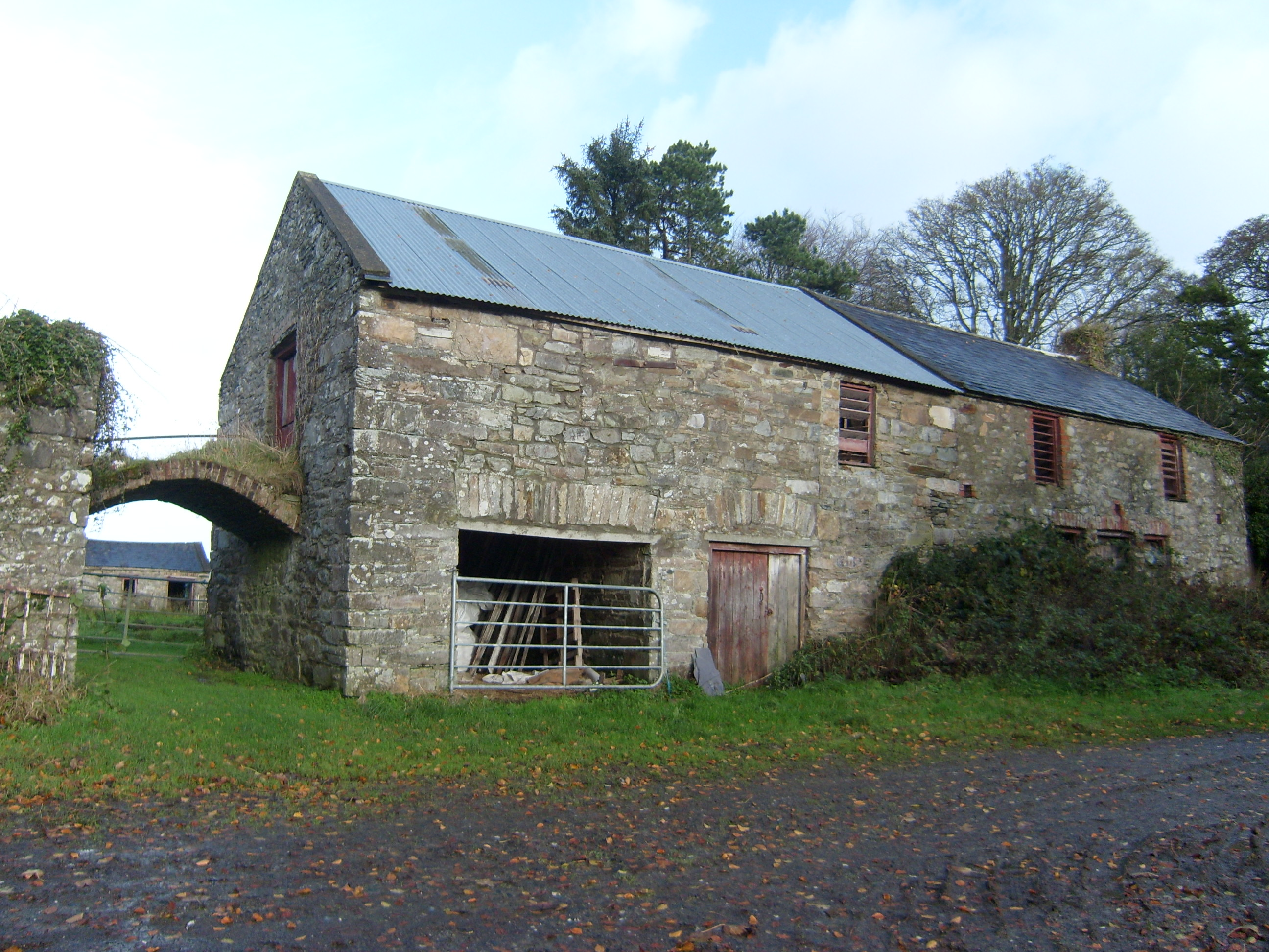 Moyaghoutbuilding · 1628 yd
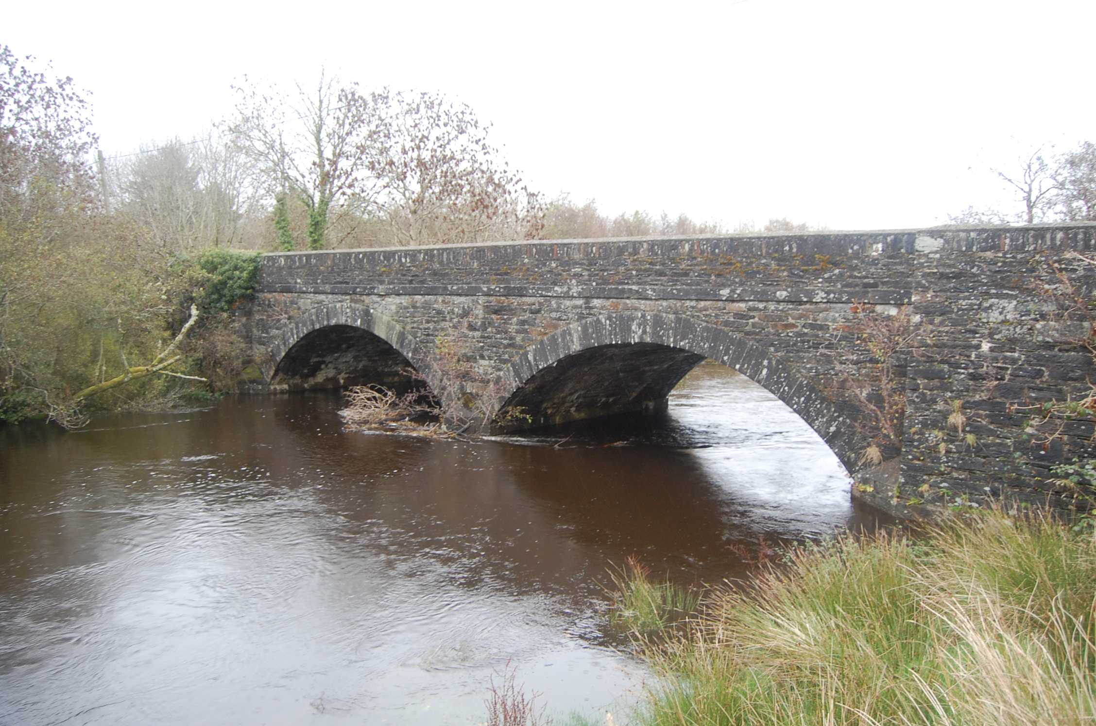 Ballydone Bridgebridge · 1651 yd
 Former Tawny Upper EnclosureEnclosure · 1.2 mi
 Ballyarr Nature ReserveNational nature reserve · 2.1 mi
 Castle (Site of)Castle, unclassified · 2.2 mi
 BallykeeranForest recreation place · 2.7 mi
 Loughsalt MountainMountain / peak · 3.1 mi
 Tullyaughnish Old Church GraveyardGraveyard · 3.7 mi
 Bawn in RathmeltonBawn · 3.7 mi
 Rough IslandIslet · 4.9 mi
 Croaghan HillMountain / peak · 6.8 mi