What is recorded here
Located on the E-facing slope of a drumlin and in a col with the summits of drumlins c. 450m to the NW and c. 300m to the E. It is just E of a nineteenth century farmyard. A line (L 5.6m) of five contiguous conglomerate boulders, one of which been displaced, is generally aligned N-S. From the S the stones are (dims 1m x 0.4m, H 0.5m; 0.9m x 0.4m, H c. 0.5m; 1m x 0.4m, H c. 0.5m; fallen 1m x 0.7m; dims 1m x 1m, H 0.6m). About 2m to the SE is a sixth stone (dims 1m x 0.7m), also displaced.
The above description is derived from 'The Archaeological Inventory of County Leitrim' compiled by Michael J. Moore (Dublin: Stationery Office, 2003). In certain instances the entries have been revised and updated in the light of recent research.
Compiled by: Michael Moore
Date of revised upload: 16 October 2019
Probably dating to the Neolithic or Early Bronze Age, the stone row may have had ceremonial or ritual significance, possibly aligned with seasonal or astronomical events. Such arrangements are often associated with funerary or territorial markers in prehistoric landscapes.
The monument record does not grant public access. Check the route and ask the landowner before entering private land.
- What survives
- Recorded monument
Places near here
 Fairy fort / earthen ringfort in AgharannFairy fort / earthen ringfort · 1.1 mi
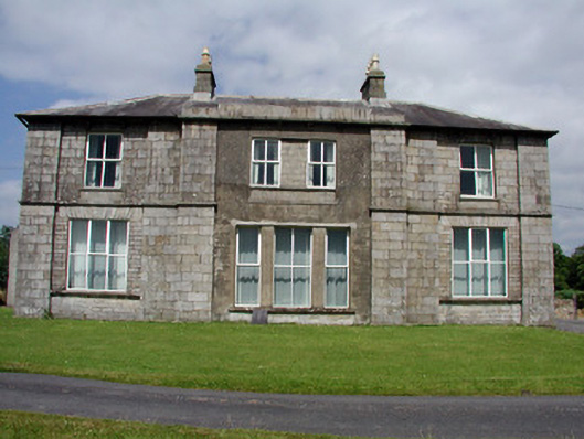 Druminshin Glebe Houserectory/glebe/vicarage/curate's house · 1.3 mi
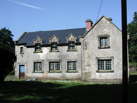 schoolschool · 1.8 mi
 St. Patricks WellHoly well · 1.9 mi
 European YewEuropean Yew · 2.0 mi
 King's GraveArchaeological place · 2.2 mi
 DrumbreanlisMountain / peak · 2.8 mi
 CornaferstMountain / peak · 3.1 mi
 Pedunculate OakPedunculate Oak · 3.3 mi
 North Midland Transport CollectionMuseum · 4.3 mi
 Giant's GraveArchaeological place · 4.3 mi
 Swan Island pet farmHeritage attraction · 4.6 mi