What is recorded here
Lynch (1976, 119) recorded a possible stone alignment close to the cliff-edge at the N side of Clogher strand. It consisted of a single orthostat, orientated roughly NNE-SSW, and 2 prostrate slabs lying c. 6m and c. 9.5m to NNE. The stones are no longer visible and the standing stone, perched close to the cliff-edge, may have fallen into the sea.
The above description is derived from J. Cuppage, ‘Corca Dhuibhne. Dingle Peninsula archaeological survey. Ballyferriter. Oidhreacht Chorca Dhuibhne’ (1986), no. 53. In certain instances the entries have been revised and updated in the light of recent research.
Date of upload: 3 August 2013
The monument record does not grant public access. Check the route and ask the landowner before entering private land.
- What survives
- Recorded monument
Places near here
 Tráigh ChloichirBeach / strand · 142 yd
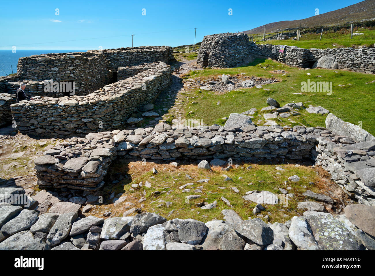 Hut site in CloichearHut site · 563 yd
 Faill BuíCliff · 581 yd
 Hut site in An Gráig (tc Dún Urlann)Hut site · 942 yd
 Ceann SrathaNamed rock · 1033 yd
 Mullach Charraige LéitheMountain / peak · 1268 yd
 Caisleán PhiaraisCastle · 1.3 mi
 Ferriters Castle (in ruins)Castle, tower house · 1.3 mi
 Penitential station in Baile An ChalaidhPenitential station · 1.3 mi
 Kilgobnet Penitential StationPenitential station · 1.4 mi
 Cruach MhárthainMountain / peak · 1.4 mi
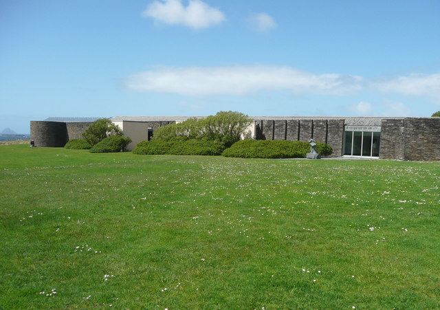 Ionad an Bhlascaoid MhóirMuseum · 1.7 mi