What is recorded here
An Gráig holds a 1.38m standing stone on the sloping land between Croaghmarhin and the sea north of Clogher Head. Its broad south face presents across the eastern and western distance like a marker set for people moving along that coastal edge. The stone may have guided travellers, marked a boundary or waited for ceremonies now lost, while the Atlantic continued to throw light and shadow across it.
A standing stone situated on gently sloping land between the W slopes of Croaghmarhin and the sea N of Clogher Head. It stands 1.38m high and measures .82m at base across its S face; E-W.
The above description is derived from J. Cuppage, ‘Corca Dhuibhne. Dingle Peninsula archaeological survey. Ballyferriter. Oidhreacht Chorca Dhuibhne’ (1986), no. 113. In certain instances the entries have been revised and updated in the light of recent research.
Date of upload: 4 August 2013
The monument record does not grant public access. Check the route and ask the landowner before entering private land.
- What survives
- Recorded monument
Places near here
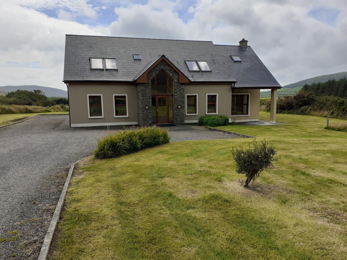 Hut site in An Gráig (tc Dún Urlann)Hut site · 235 yd
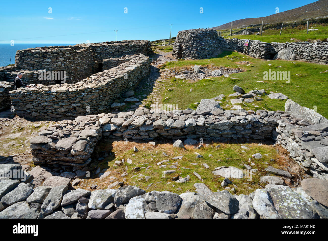 Hut site in CloichearHut site · 557 yd
 Mullach Charraige LéitheMountain / peak · 614 yd
 Tráigh ChloichirBeach / strand · 636 yd
 Ceann SrathaNamed rock · 892 yd
 Faill BuíCliff · 1227 yd
 Kilgobnet Penitential StationPenitential station · 1.0 mi
 Dunquin Church (in ruins)Church · 1.2 mi
 Cruach MhárthainMountain / peak · 1.2 mi
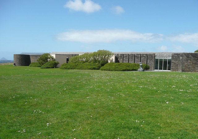 Ionad an Bhlascaoid MhóirMuseum · 1.3 mi
 Caisleán PhiaraisCastle · 1.6 mi
 Ferriters Castle (in ruins)Castle, tower house · 1.6 mi