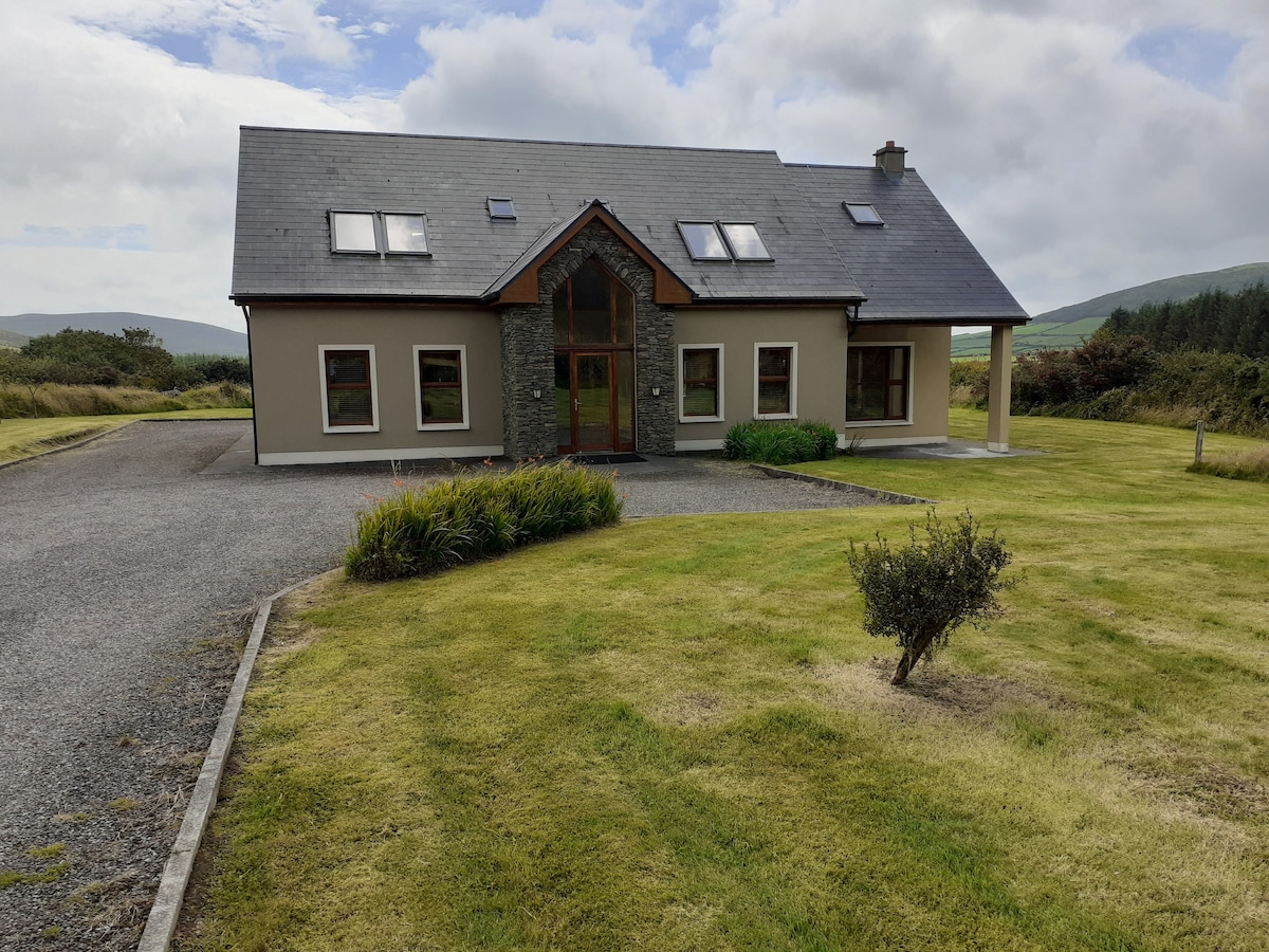
What is recorded here
On sloping ground between Minnaunmore rock and Graigue village. A possible hut site, its wall represented by a series of low uprights, boulders and possible collapsed walling. D: c. 3m. Known locally as a lios.
The above description is derived from J. Cuppage, ‘Corca Dhuibhne. Dingle Peninsula archaeological survey. Ballyferriter. Oidhreacht Chorca Dhuibhne’ (1986), no. 1377. In certain instances the entries have been revised and updated in the light of recent research.
Date of upload: 5 August 2013
The monument record does not grant public access. Check the route and ask the landowner before entering private land.
- What survives
- Recorded monument
Places near here
 Mullach Charraige LéitheMountain / peak · 397 yd
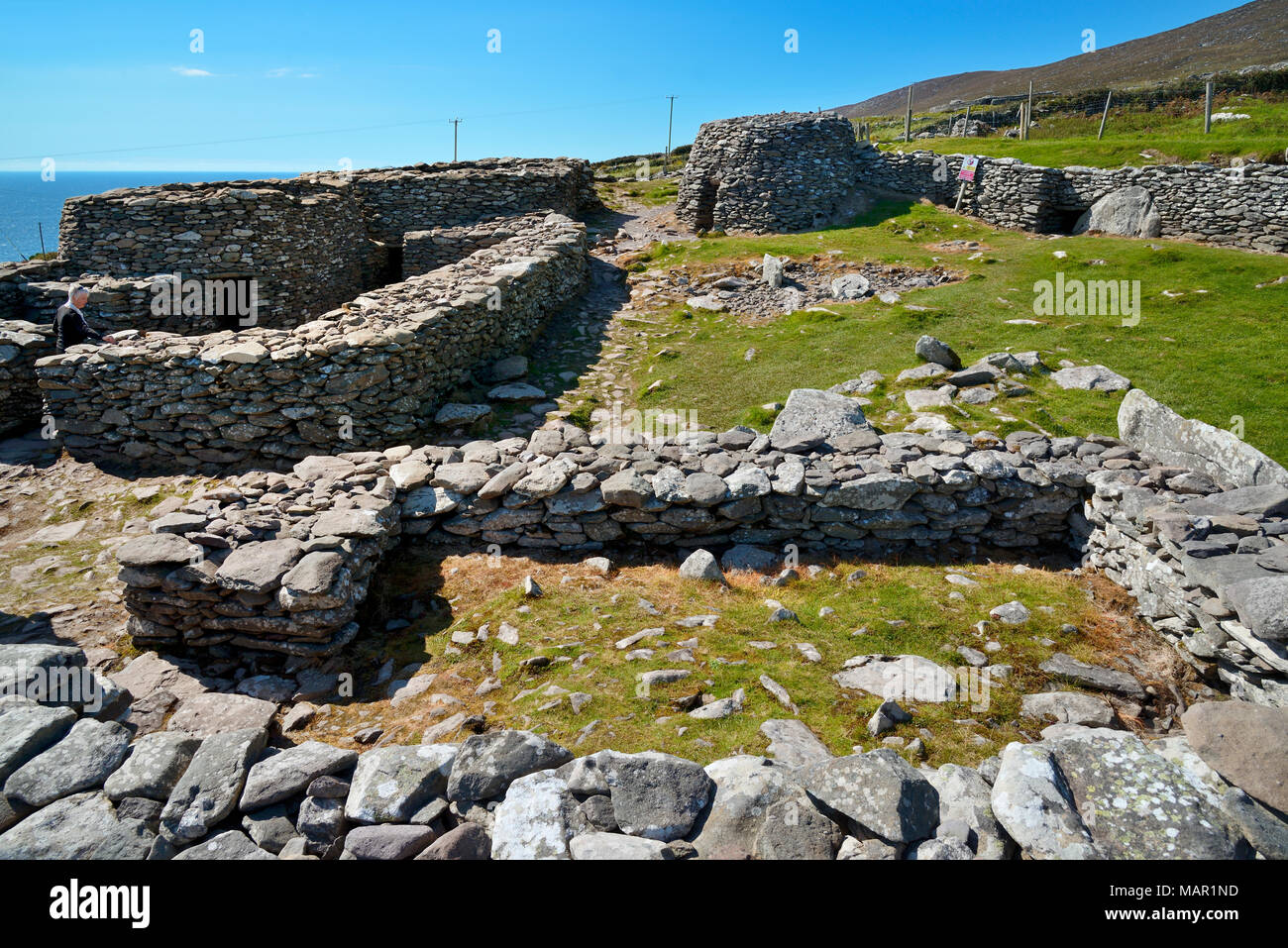 Hut site in CloichearHut site · 763 yd
 Tráigh ChloichirBeach / strand · 870 yd
 Ceann SrathaNamed rock · 898 yd
 Enclosure in Ceathrú An FheirtéaraighEnclosure · 1431 yd
 Faill BuíCliff · 1463 yd
 Kilgobnet Penitential StationPenitential station · 1593 yd
 Dunquin Church (in ruins)Church · 1.0 mi
 Cruach MhárthainMountain / peak · 1.2 mi
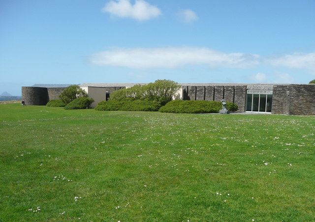 Ionad an Bhlascaoid MhóirMuseum · 1.2 mi
 Caisleán PhiaraisCastle · 1.8 mi
 Ferriters Castle (in ruins)Castle, tower house · 1.8 mi
Other information
Photo: Credit not shown in the picture search · Rights wording not checked; contact us if this picture should be removed