
What is recorded here
This small enclosure is located on poor and slightly marshy pastureland, c. 250m from the sea-cliffs about a half mile (.8km) S of Clogher Head. A circular area, 3.1 to 3.3m in diameter, is enclosed by a bank and external fosse with a causewayed entrance at N and a possible causeway across the fosse at S. The fosse is 1.9m wide and a maximum of .3m deep. The bank is composed of earth and small stones and is 2.9m wide and a maximum of .75m high. To W of the site are the remains of disused field fences predating those marked on the 2nd edition of the OS map.
The above description is derived from J. Cuppage, ‘Corca Dhuibhne. Dingle Peninsula archaeological survey. Ballyferriter. Oidhreacht Chorca Dhuibhne’ (1986), no. 1536. In certain instances the entries have been revised and updated in the light of recent research.
Date of upload: 5 August 2013
The monument record does not grant public access. Check the route and ask the landowner before entering private land.
- What survives
- Recorded monument
Places near here
 Kilgobnet Penitential StationPenitential station · 164 yd
 Stone CrossCross · 290 yd
 Holy well in Ceathrú An FheirtéaraighHoly well · 358 yd
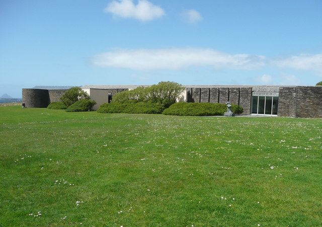 Ionad an Bhlascaoid MhóirMuseum · 738 yd
 Mullach Charraige LéitheMountain / peak · 1037 yd
 Dunquin Church (in ruins)Church · 1105 yd
 Ceann SrathaNamed rock · 1497 yd
 Dún BinneHeadland · 1703 yd
 Tráigh ChloichirBeach / strand · 1.3 mi
 Cruach MhárthainMountain / peak · 1.6 mi
 Traigh an ChomaBeach / strand · 2.0 mi
 Dunmore HeadViewpoint · 2.1 mi
Other information
Photo: Credit not shown in the picture search · Rights wording not checked; contact us if this picture should be removed