
What is recorded here
Ferriters Castle rose on Doon Point as a sturdy tower house for the Ferriter family, who held the land from the 13th century until Piaras Feirtéar died in Killarney in 1653. The vaulted chamber, thick sandstone walls and narrow loopholes suggest a household that watched the cove, stored goods and resisted intrusion. Storms and time broke the vault and carried much of the structure away, leaving only the NW angle and fragments of the E wall. What remains is a sharp outline of a place where residence, defence and loss became one.
Doon Point/Dún an Fheirtéaraigh is a long, narrow promontory stretching over 500m NE-SW, on the N side of Ferriter's Cove. A 15th or 16th century tower-house was later constructed on the inner bank of the E line of defences.
Ferriters Castle/Caisleán an Fheirtéaraigh: The Norman family of Ferriter held extensive land here by the end of the 13th century, and in the 16th century 'Ferters Creek' appears to have been a port of some importance (CPR Eliz. 1585, 105). The castle, marked on 16th/17th century maps as 'Filliters Castle' or 'Castle Sybil' (Westropp 1910, 204), was probably built in the later 15th or 16th century. The family remained in residence until the 17th century when Piaras Feirtéar, the poet, was captured and subsequently executed in Killarney in 1653 (Ó Conchúir 1977, 48). The building was in ruins by 1756 (Smith, 187).
The castle is situated on the inner face of the Eastern defences of the promontory fort, its battered E wall resting on boulder foundations near the bottom of the fosse. The walls are built of coursed sandstone flags and rubble laid in a sandy mortar; the surviving NW and SE quoins are widely chamfered.
The main block of the castle, a rectangle c. 6.6m N-S x 5m E-W internally, with walls c. 1.6m in thickness, suffered severe storm damage in 1845 (Fisher 1847, 55). Prior to this a stair turret and entrance were visible in the SW corner (OSL).
Only the NW angle, c. 11m high, with attatched N and W walls, and the lower courses of the SE angle with attached section of the E wall, are now extant. A low lintelled opening, near the S end of the E wall, may have been an outlet for a garderobe shaft.
The castle has a vaulted lower storey lit by a double-splayed loop set in a lintelled embrasure in the W wall. There are 2 wall-cupboards in the NW angle. Beam holes in the N and W walls suggest that there may have been a 2nd floor under the vault, lit by a window in the N wall; only the splayed W ingoing of the latter is now preserved.
The pointed barrel vault, aligned N-S, has completely collapsed, and only the NW angle of the storey above it remains. A blocked-up ope in the wall of this chamber retains only the chamfered N jamb and sill, its pointed head having fallen (OSL). The N wall was fitted with a wall-press, and a central recess in this wall may be the remains of a window ope.
To see a 3D model of this monument visit: https://skfb.ly/6AGnw
The above description is derived from J. Cuppage, ‘Corca Dhuibhne. Dingle Peninsula archaeological survey. Ballyferriter. Oidhreacht Chorca Dhuibhne’ (1986), no. 266. In certain instances the entries have been revised and updated in the light of recent research.
Date of upload: 4 August 2013
Ferriters Castle is a 15th- or 16th-century tower house built by the FitzGerald (Ferriter) family, who were prominent Hiberno-Norman lords in Munster. The site is important as a regional example of Gaelic-Irish defensive architecture and reflects the family's historical influence in the area.
The monument record does not grant public access. Check the route and ask the landowner before entering private land.
- What survives
- Recorded monument
Places near here
 Caisleán PhiaraisCastle · 12 yd
 Promontory fortPromontory fort, coastal · 176 yd
 Doon PointPromontory fort, coastal · 187 yd
 Ceann an DúnaHeadland · 672 yd
 CúlfhaillCliff · 846 yd
 Penitential station in Baile An ChalaidhPenitential station · 1285 yd
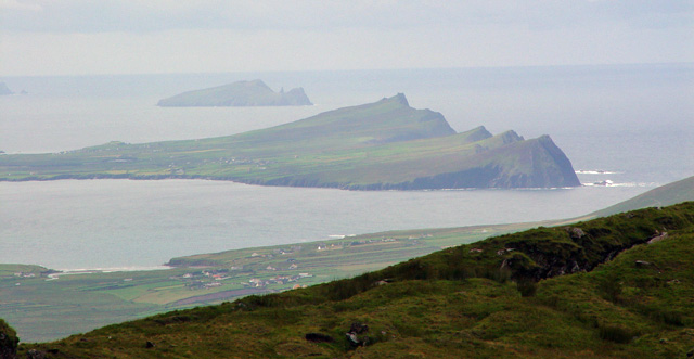 Ceann SibéalMountain / peak · 1351 yd
 An Bhinn BhricMountain / peak · 1527 yd
 Tráigh ChloichirBeach / strand · 1.3 mi
 St Brendan's WellSpring · 2.0 mi
 Dunanoir FortVisitor information · 2.0 mi
 Tráigh Bhéal BánBeach / strand · 2.0 mi
Other information
Photo: Credit not shown in the picture search · Rights wording not checked; contact us if this picture should be removed