
What is recorded here
Yes. A promontory fort in County Kerry, Ireland. A straight earthen bank cuts a broad headland from the mainland, leaving a level garth beside sheer cliffs and fertile pasture. The slight remains suggest people shaped the coast into a defended or enclosed place, though time has blurred the purpose.
Possible promontory fort described in 2002 as follows; ‘A broad curving flat headland is cut off from the mainland by a straight 2.5m wide 1m high earthen bank and slight external ditch. A gap 8m from the southern edge may be the remains of an entrance. Near the western extremity of the promontory are the possible remains of a fosse and bank also running across the remaining portion of the headland, possibly reflecting an earlier defensive feature. The garth is level and shows evidence of earlier cultivation. A 25m square enclosure close to the northern cliff edge may be the remains of a field while a short length of earthen bank along the southern cliff edge may be a perimeter wall. The west-facing headland is surrounded by sheer cliffs and the area is one of fertile pasture. While the visible surface features are clearly artificial, the remains are very slight and not enough survives to be certain of the nature of the visible features’ (Casey 2002, 21, no. E).
The monument record does not grant public access. Check the route and ask the landowner before entering private land.
- What survives
- Recorded monument
Places near here
 Ferriters Castle (in ruins)Castle, tower house · 176 yd
 Caisleán PhiaraisCastle · 186 yd
 Doon PointPromontory fort, coastal · 278 yd
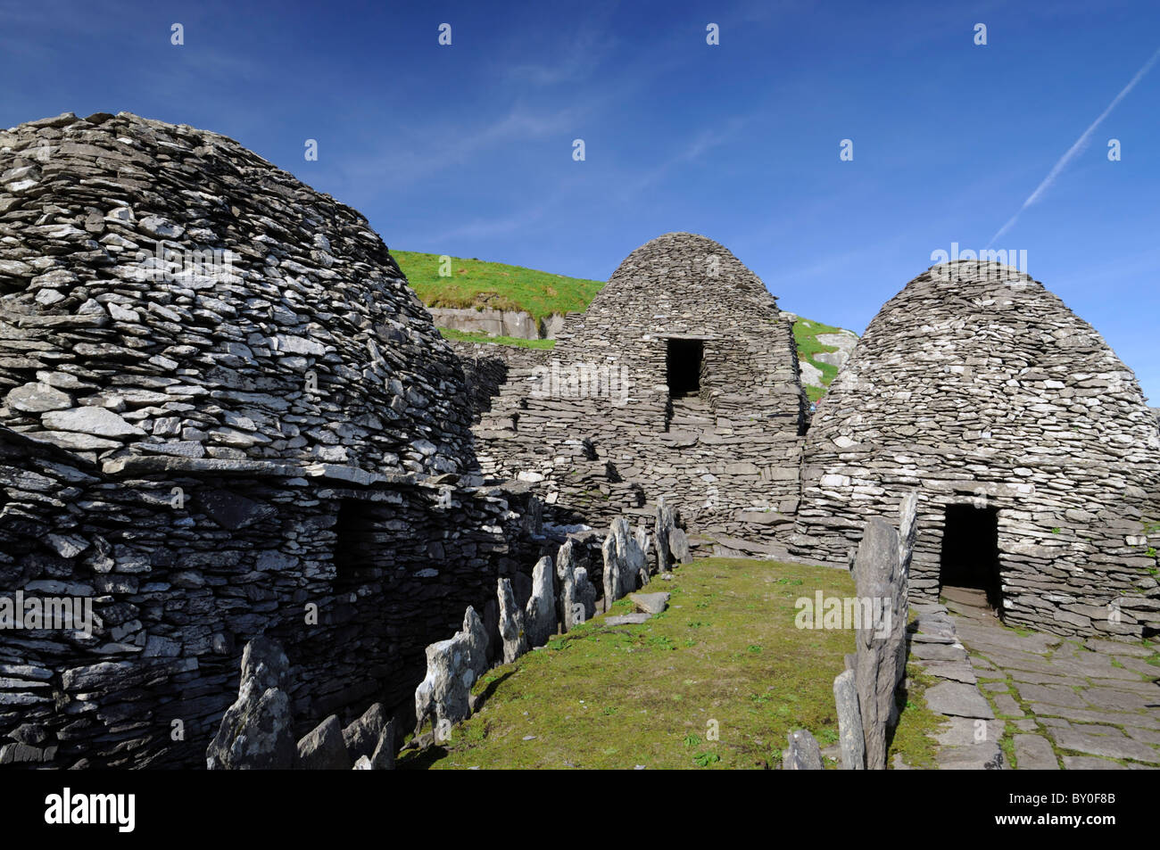 Hut site in An Baile Uachtarach TheasHut site · 632 yd
 Ceann an DúnaHeadland · 713 yd
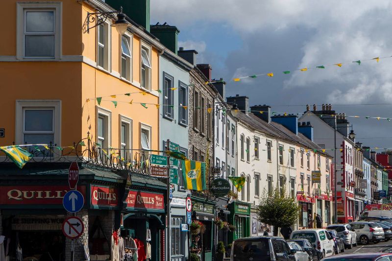 CúlfhaillCliff · 1022 yd
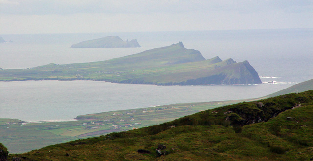 Ceann SibéalMountain / peak · 1185 yd
 An Bhinn BhricMountain / peak · 1351 yd
 Penitential station in Baile An ChalaidhPenitential station · 1428 yd
 Tráigh ChloichirBeach / strand · 1.4 mi
 Dunanoir FortVisitor information · 1.9 mi
 St Brendan's WellSpring · 2.0 mi
Other information
Photo: Credit not shown in the picture search · Rights wording not checked; contact us if this picture should be removed