What is recorded here
This stone alignment is located on the low-lying level strip of land between the Slieve Mish mountains and Tralee Bay. It consists of 3 stones orientated ENE-WSW, the easternmost now split vertically into 3 separate portions, and the westernmost lying prostrate. The latter, measuring 3.22m x 1.3m x .38m, would have been the tallest stone, its nearest neighbour, 2m to E, being 2.76m high and measuring 1m x .75m at base. The 3rd stone stands 2.2m to E again and would originally have measured 1 to 1.2m x c. 0.7m at base. Two portions are 2.17m and 2m high respectively, while the 3rd fragment is only .45m high.
The above description is derived from J. Cuppage, ‘Corca Dhuibhne. Dingle Peninsula archaeological survey. Ballyferriter. Oidhreacht Chorca Dhuibhne’ (1986), no. 51. In certain instances the entries have been revised and updated in the light of recent research.
Date of upload: 3 August 2013
Likely dating to the Neolithic or Bronze Age, this stone row may have had ceremonial or astronomical significance, possibly aligned with seasonal markers. Such alignments are often associated with ritual activity or territorial demarcation in prehistoric landscapes.
The monument record does not grant public access. Check the route and ask the landowner before entering private land.
- What survives
- Recorded monument
Places near here
 Graveyard in Baile An Chnocáin (tc An Cnoc Glas)Graveyard · 743 yd
 Kilgobban Churchchurch/chapel · 775 yd
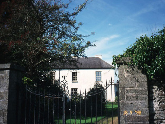 The Old Rectoryrectory/glebe/vicarage/curate's house · 784 yd
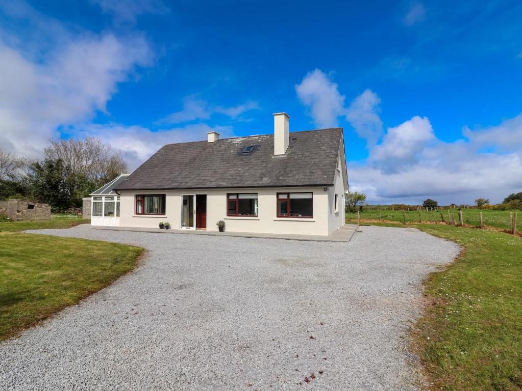 Man-made underground passage in Camp (corkaguiny By.)Man-made underground passage · 1450 yd
 Site of Camp CastleCastle, unclassified · 1572 yd
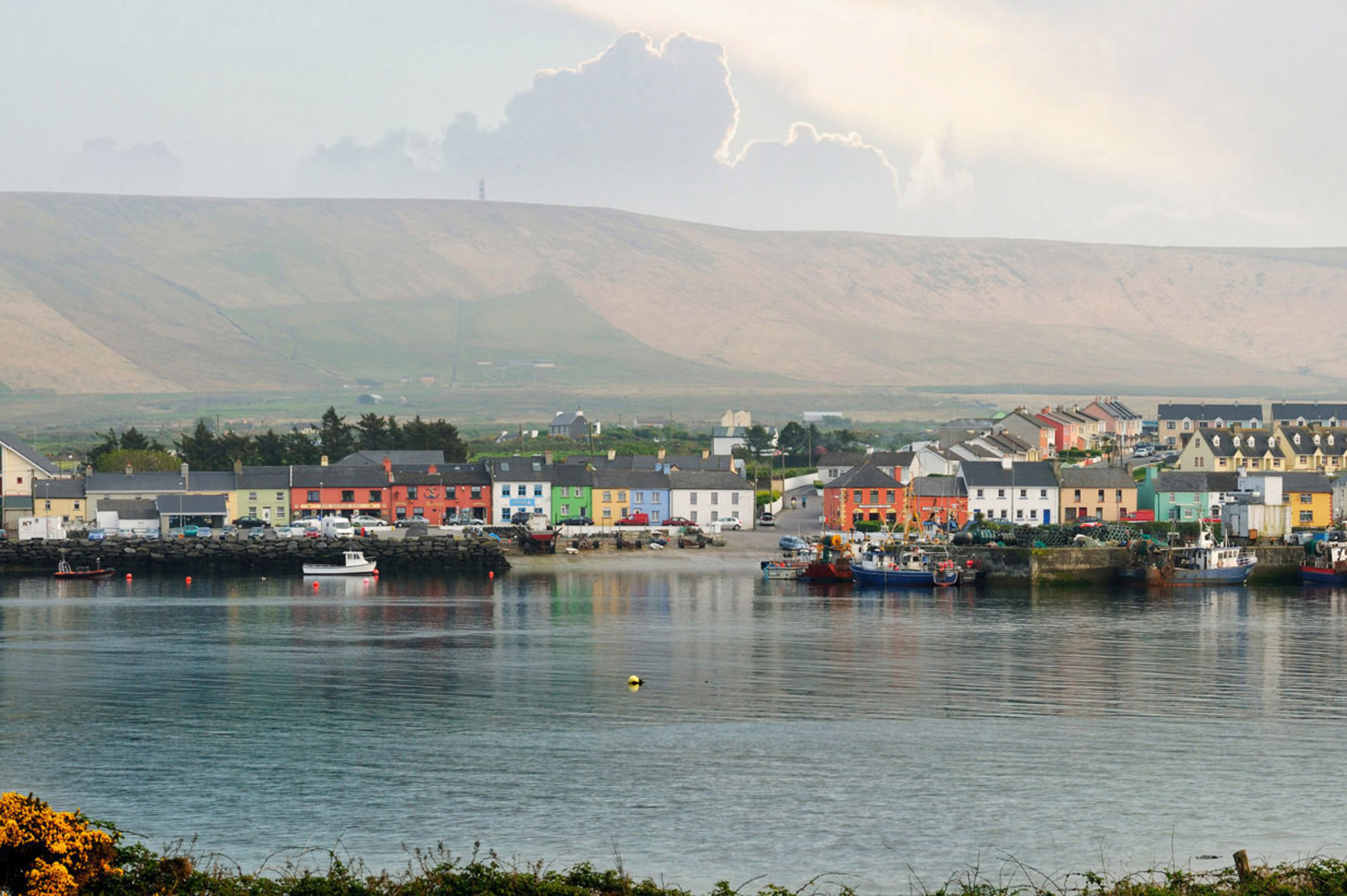 LisnaheirkaArchaeological place · 1.1 mi
 Faisr's GraveArchaeological place · 1.1 mi
 CorrinMountain / peak · 1.4 mi
 CastleCastle, unclassified · 1.5 mi
 KnockbegMountain / peak · 2.7 mi
 Samphire Island LittleIslet · 3.6 mi
 Samphire IslandIslet · 4.1 mi