
What is recorded here
Three metres of rough granite rise at the eastern edge of a low ridge in County Kildare, marking a boundary long before written records arrived. Its stubby cross arms and tapering shaft suggest more than they declare, while loose blocks at the base hint at a plinth never finished. The stone faces open pasture and distant fields, still watching the land as though certainty belonged to it, not the people who forgot why it stood there.
In a graveyard (KD019-039001-). A gently tapering granite slab (dims. L 1.74m; Wth 0.45-0.64m; T 0.22m) with partially bevelled edges carry's a ringed Greek cross in incised outline with a long, slightly splaying shaft. (McCabe 1996, 108-11; Healy 2009, 75-6)
Compiled by: Gearóid Conroy
Date of upload: 10 June 2011
The monument record does not grant public access. Check the route and ask the landowner before entering private land.
- What survives
- Recorded monument
Places near here
 Church (in Ruins)Church · 17 yd
 Baptismal FontFont · 30 yd
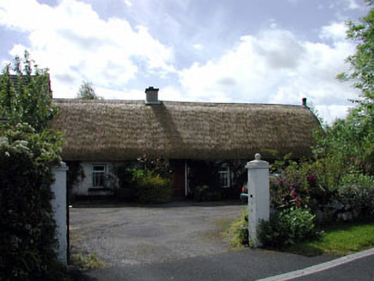 farm housefarm house · 912 yd
 The Cave RathEnclosure · 1007 yd
 Blackhall Castle (in Ruins)Castle, tower house · 1.4 mi
 European YewEuropean Yew · 1.4 mi
 Site of Eustace CastleCastle, tower house · 1.9 mi
 Poplar SquarePicnic place · 1.9 mi
 Monread District Park WoodsWood · 2.2 mi
 The Square RenewalMemorial · 4.4 mi
 Councillor Jim MileyMemorial · 4.4 mi
 Cupidstown HillMountain / peak · 5.4 mi
Other information
Photo: Credit not shown in the picture search · Rights wording not checked; contact us if this picture should be removed