What is recorded here
Stone Cross stands at the east end of a low ridge in County Kildare, its granite body narrowed and stubby-armed as if chopped from a larger block. White quartz flecks glint under the south arm, and rough stones cluster at its base like a forgotten plinth. The cross shape is rude, barely suggested, yet it rises thirty-three and a half centimetres above the gentle slopes that fall away on three sides. Whatever hand shaped it worked quickly, perhaps angrily, perhaps in a hurry to mark something worth remembering before the pasture swallowed the meaning whole.
At the E-end of a low ridge, with long, gentle slopes falling away immediately to the N, E and S, and level pasture running off to the W. A tall, granite pillar, (H. 3.35m); the upper portion of which has been roughly worked into the shape of a rude cross. The stone appears to be a granite conglomerate, with some white quartz inclusions visible under the S-arm of the cross. The stone is roughly shaped, being a rounded-rectangular on a N-S axis at the base (Wth 0.95m; T 0.7m) before narrowing to an almost square section above (Wth 0.45m; T 0.4m), with stubby arms (Wth 0.6m) near the top. Several large, rough blocks at the base, not all of them earthfast, may have been an attempt at creating a rough plinth (H 0.4m). (De Burg 1896, 320; Fitzgerald 1899-1902, 358; Crawford 1907, 237; Price 1935-45, 140)
Compiled by: Gearóid Conroy
Date of upload: 10 June 2011
The monument record does not grant public access. Check the route and ask the landowner before entering private land.
- What survives
- Recorded monument
Places near here
 Baptismal FontFont · 969 yd
 Stone CrossCross · 998 yd
 Church (in Ruins)Church · 1004 yd
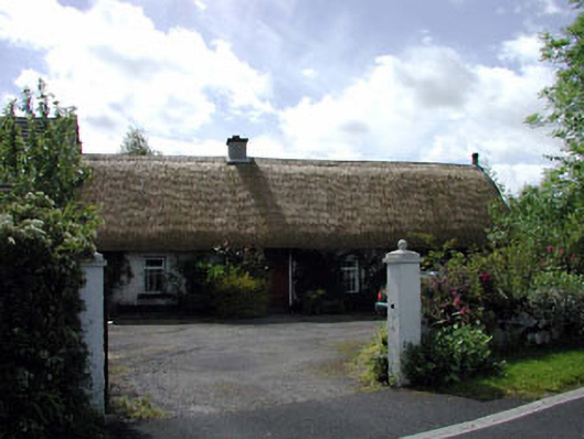 farm housefarm house · 1201 yd
 European YewEuropean Yew · 1.2 mi
 Blackhall Castle (in Ruins)Castle, tower house · 1.3 mi
 CastleCastle, unclassified · 1.9 mi
 Monread District Park WoodsWood · 2.6 mi
 The Square RenewalMemorial · 3.9 mi
 Dame Ninette de ValoisMemorial · 3.9 mi
 Cupidstown HillMountain / peak · 4.8 mi
 Saggart HillMountain / peak · 6.0 mi