What is recorded here
Situated on the outer edge of a wooded shelf overlooking the W-E Owenavorragh Stream, which is c. 70m to the N, and c. 1km from the sea-shore. A stone patio with benches is laid out around it, and paths lead through the wood to it from a carpark to the E. This is a shale Latin cross (H 2.25m; T 0.15m) with one broken arm (Wth 1.03m). There is an incised cross in a circle (diam. 0.46m) at the intersection of the arms on both faces. (deVal 1970, 25; Ranson 1948, 102-03; Harbison 1992, vol. 1, 23)
The above description is derived from the published 'Archaeological Inventory of County Wexford' (Dublin: Stationery Office, 1996). Michael Moore
Date of upload/revision: 13 April, 2012.
Situated on the outer edge of a wooded shelf overlooking the W-E Owenavorragh Stream, which is c. 70m to the N, and c. 1km from the sea-shore. A stone patio with benches is laid out around it, and paths lead through the wood to it from a carpark to the E. This is a shale Latin cross (H 2.25m; T 0.15m) with one broken arm (Wth 1.03m). There is an incised cross in a circle (diam. 0.46m) at the intersection of the…
From the National Monuments Service (Archaeological Survey of Ireland) record WX012-006
The monument record does not grant public access. Check the route and ask the landowner before entering private land.
- What survives
- Recorded monument
Places near here
Photo credits
- National Inventory of Architectural Heritage
- Lucarelli, Wikimedia Commons · CC BY-SA 3.0
- Smirkybec, Wikimedia Commons · CC BY-SA 4.0
- Ryanforsyth9, Wikimedia Commons · CC BY-SA 4.0
High Cross of KilbrideMonument · 13 yd water pump94 ydBallinatray BridgeBridge · 121 ydCourtown WoodsWood · 621 ydHolm Oak734 ydCourtown Amusement CentreHeritage attraction · 837 ydMaritime MonumentMonument · 1286 ydIndicatedCastle, motte and bailey · 1.3 miDuffcarrig Rocks BeachBeach / strand · 1.5 miBanoge HillMountain / peak · 1.6 miMarket HouseHeritage attraction · 2.9 mi1798 MonumentMemorial · 3.1 mi
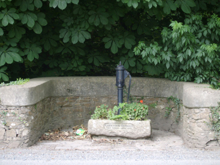 water pump94 yd
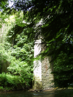 Ballinatray BridgeBridge · 121 ydCourtown WoodsWood · 621 yd
 Holm Oak734 ydCourtown Amusement CentreHeritage attraction · 837 ydMaritime MonumentMonument · 1286 ydIndicatedCastle, motte and bailey · 1.3 miDuffcarrig Rocks BeachBeach / strand · 1.5 miBanoge HillMountain / peak · 1.6 mi
 Market HouseHeritage attraction · 2.9 mi
 1798 MonumentMemorial · 3.1 mi
More archaeology and monuments in County Wexford · All of County Wexford
What do you know about this place?