What is recorded here
Five stones once circled a point on the NW slope of Rock Hill, now reduced to one erect slab and three prostrate ghosts beside the Clyda River valley. The surviving orthostat rises 1.1m, thin as a doorjamb, while a hollow socket marks where its western partner fell. Ten metres away, a separate pair of standing stones still watches the ruin. Together they suggest a small deliberate chamber, built by hands that measured shadow and distance before disappearing into the forest.
In forest, on NW slope of Rock Hill on E side of Clyda River valley. Possible five-stone circle represented by one erect and three prostrate slabs. Orthostat is 1.15m L, 0.25m T and 1.1m H. Socket visible beside prostrate slab to W indicates diameter of c. 4.4m. Pair of standing stones (CO051-178----) stands 10m to NNW.
The above description is derived from the published 'Archaeological Inventory of County Cork. Volume 3: Mid Cork' (Dublin: Stationery Office, 1997). In certain instances the entries have been revised and updated in the light of recent research.
Date of upload/revision: 14 January 2009
Likely dating to the Neolithic or Early Bronze Age, this stone circle may have had ceremonial or astronomical significance. The presence of a socket suggests the original circle was more intact, possibly used for ritual gatherings or marking seasonal events.
The monument record does not grant public access. Check the route and ask the landowner before entering private land.
- What survives
- Recorded monument
Places near here
 Rock HillMountain / peak · 1198 yd
 Lyradane MountainMountain / peak · 1254 yd
 Grave Yard (Disused)Graveyard · 1582 yd
 Friars GardenFairy fort / earthen ringfort · 1611 yd
 Castle (Site of)Castle, Anglo-Norman masonry castle · 1.3 mi
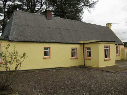 farm housefarm house · 1.5 mi
 Saint Michael's Churchchurch/chapel · 2.1 mi
 Castle Barrett (in Ruins)Castle, Anglo-Norman masonry castle · 3.1 mi
 St John's WellSpring · 3.7 mi
 Pairc Ath Na hEornaMemorial · 4.3 mi
 Graveyard in KilmonaGraveyard · 4.5 mi
 New TipperaryVisitor information · 4.8 mi