What is recorded here
In a letter dated 12 August 1758, Richard Pococke mentioned that 'Ormet in the parish of Kilcrohan is a circle of stones seven feet [2.13m] high' (Ó Maidín 1958, 92). The precise location of this possible stone circle is not known. It has not proved possible to identify the placename 'Ormet'. The parish of Kilcrohan is covered by the following OS 6-inch maps: 82, 90-92, 98-101, 105-8.
The above description is derived from the published 'Archaeological Inventory of County Kerry. Volume I: South-West Kerry' (Dublin: Stationery Office, 2009). In certain instances the entries have been revised and updated in the light of recent research.
Date of upload: 30 May 2011
The monument record does not grant public access. Check the route and ask the landowner before entering private land.
- What survives
- Recorded monument
Places near here
 MullaghanattinMountain / peak · 767 yd
 Ballaghbeama GapViewpoint · 1370 yd
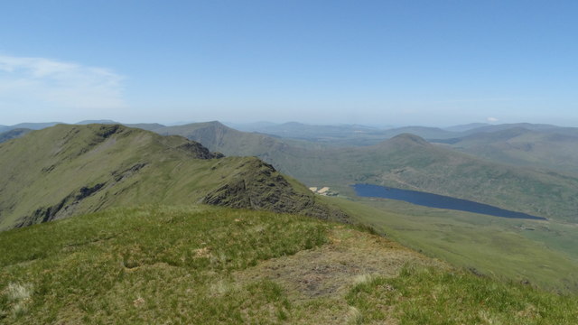 Beann NE TopMountain / peak · 1581 yd
 Hut site in CoomlumminyHut site · 1.1 mi
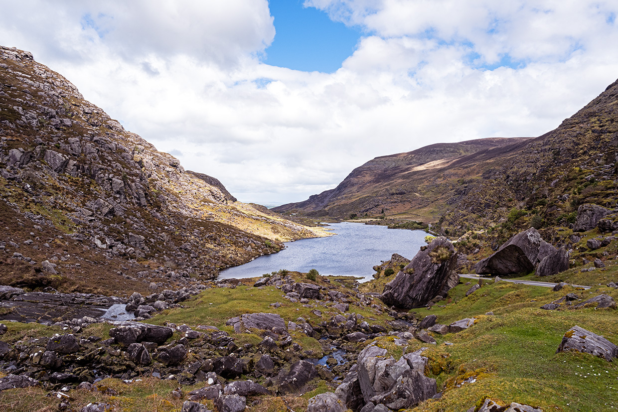 Ooangallaun CaveMan-made underground passage · 1.4 mi
 CarrauntoohilMountain / peak · 5.5 mi
 Blackstones Bridgebridge · 5.7 mi
 RoadRoad, road/trackway · 6.5 mi
 Devil's Ladder RouteWalking route · 6.7 mi
 Crash site of USAAF DakotaHeritage attraction · 7.1 mi
 De Gaulle MemorialMonument · 7.6 mi
 Sneem Commemoration PlaqueMemorial · 7.6 mi