What is recorded here
Unlocated possible stone circle in the townland of Rahugh. The monument was described in 1870-1 as following; 'There are the remains of a stone circle in Rath-hugh, from which all the stones have been removed except seven, and of these one only remains perpendicular. ' They are grits,' said a man who came towards me as I went along chipping them with a hammer. ' And there is a stone standing alone in the Sally meadow; and I heard them say that there used to be another over near the hills.' The circle was about thirty yards in diameter. It is upon a sloping ground which looks to the beautiful towering moat (WM038-045----), distant a quarter of a mile, and due east of it. Perhaps some of the stones of the circle were removed by the builders of the old church (WM038-041----) the cyclopean-like ruin hard by. Boulders appear through the turf, where the circle was continued, but I cannot think that they formed a part of it. The stone in the meadow is triangular in a rough way ; its apex may be about five feet above the earth ; it is flatsided, and ranged within a few degrees of the meridian. My friend, Mr. John Deane, told me that roadmakers were prevented from encroaching upon the stone circle by old Mr. Bagnal. When I saw it, the sandpit was grass-grown, or mossgrown,and two or more of the stones had tumbled into it' (Anon 1878, 27-8).
Anon (1878) 'Proceedings', Journal of the Royal Historical and Archaeological Association of Ireland 1870-71, Vol. 1, 27-8.
Compiled by Caimin O'Brien
Date of upload: 18 January 2012
Likely dating to the Late Neolithic or Bronze Age, such stone circles were often used for ceremonial, ritual, or astronomical purposes. Local folklore may associate the site with ancient druidic practices or fairy traditions, though specific meanings or uses for this particular circle are not recorded.
The monument record does not grant public access. Check the route and ask the landowner before entering private land.
- What survives
- Recorded monument
Places near here
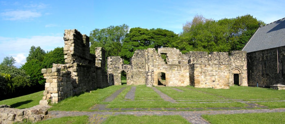 MonasteryChurch · 69 yd
 Lowertown Bridgebridge · 669 yd
 Rahugh MoatCastle, motte and bailey · 997 yd
 Bracklin Castle (ruins)Castle · 1.1 mi
 Church (Site of)Church · 1.2 mi
 Bracklin WoodWood · 1.3 mi
 Bonfire HillMountain / peak · 1.4 mi
 Ardan WoodWood · 1.5 mi
 BarrowBarrow, ring-barrow · 1.5 mi
 St. Columba's WellSpring · 3.3 mi
 Grand Canal WayWalking route · 4.2 mi
 Children's WellSpring · 5.5 mi