What is recorded here
The official Northern Ireland record identifies this as STONE CIRCLE. Recorded period: PREHISTORIC. Recorded protection: Scheduled. The official map point was placed at the centre of the recorded archaeological site from the source map reference.
Likely dating to the Neolithic or Bronze Age, this stone circle may have been used for ritual, ceremonial, or astronomical purposes. Little specific folklore is recorded, though such sites were often associated with ancient beliefs and seasonal gatherings.
The monument record does not grant public access. Check the route and ask the landowner before entering private land.
- What survives
- Recorded monument
Places near here
 ENCLOSURE in FyfinENCLOSURE · 997 yd
 Round WoodWood · 1.5 mi
 Glacken WoodWood · 1.5 mi
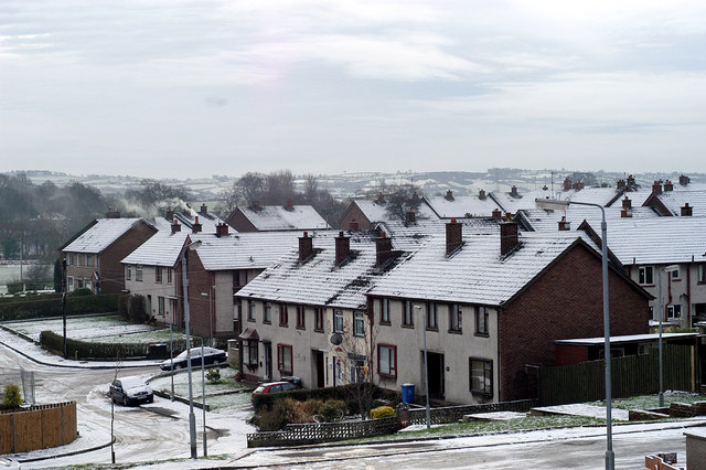 ENCLOSURE in Ballyskeagh; LiscurryENCLOSURE · 1.8 mi
 Owenreagh HillMountain / peak · 1.9 mi
 Silverbrook MillsMill · 2.5 mi
 Ballymagorry Railway StationRailway Station Structures · 2.9 mi
 Battle of Knockavoe BattlefieldBattlefield · 3.3 mi
 Dunnamanagh CastleRuins · 3.5 mi
 Hunger Strike MemorialMemorial · 3.9 mi
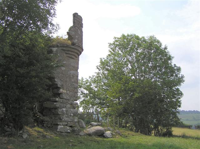 PLANTATION CASTLE: MOUNT CASTLE in MountcastlePLANTATION CASTLE: MOUNT CASTLE · 3.9 mi
 Abercorn FactoryHeritage attraction · 4.0 mi