What is recorded here
In grassland on high ground with panoramic views in all directions, nearby ringfort (TS054-012001-) 45m to the E. Stone circle on top of Quinlan's Hill which was recorded in 1938 and has subsequently been levelled. Monument in grassland with so evidence of stone circle or associated enclosure or platform (TS054-011002-) visible. Monument described in 1938 as a stone circle consisting of seven upright stones enclosing a circular area (int. diam. 10m N-S; 27m E-W) with an upright stone (diam. 6ft [1.8m]) in the centre of the circle. Not visible at ground level.
Compiled by: Jean Farrelly
Date of upload: 26 August 2011
Likely dating to the Late Neolithic or Early Bronze Age, the stone circle may have been used for ceremonial or astronomical purposes, given its elevated position and wide views. Its association with a nearby ringfort suggests later reuse or continuity of ritual activity in the landscape.
The monument record does not grant public access. Check the route and ask the landowner before entering private land.
- What survives
- Recorded monument
Places near here
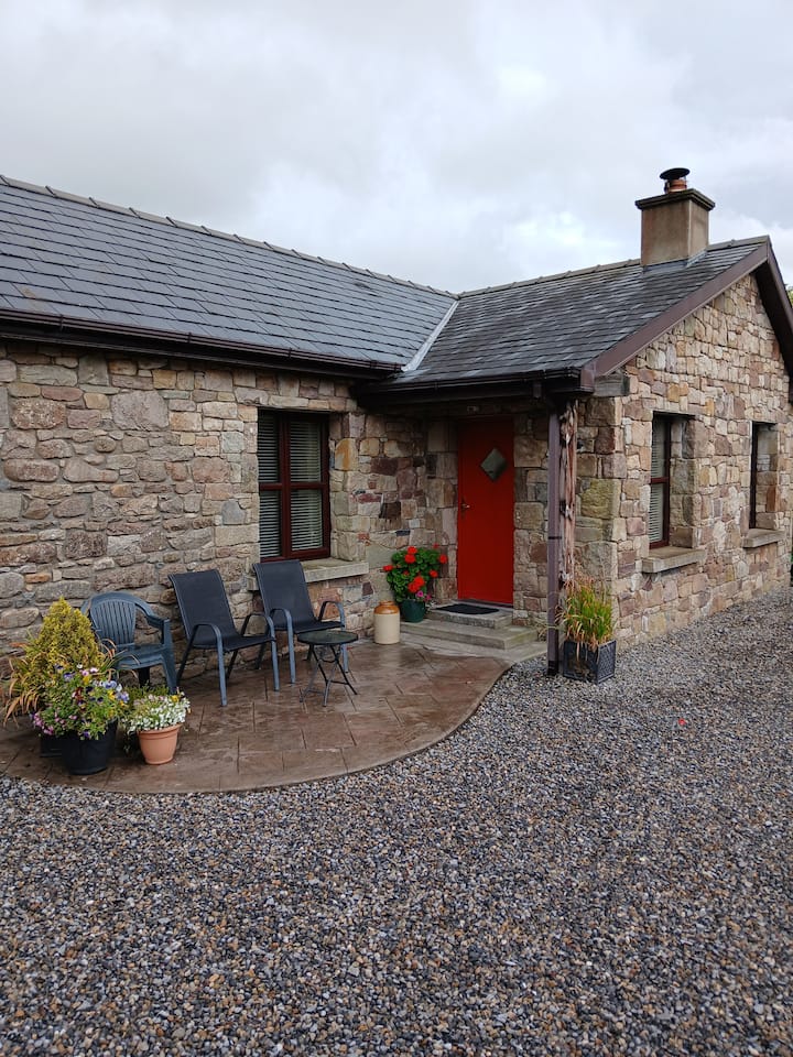 Enclosure in Glengoole SouthEnclosure · 1 yd
 Waterloo HillMountain / peak · 62 yd
 RoadRoad, road/trackway · 878 yd
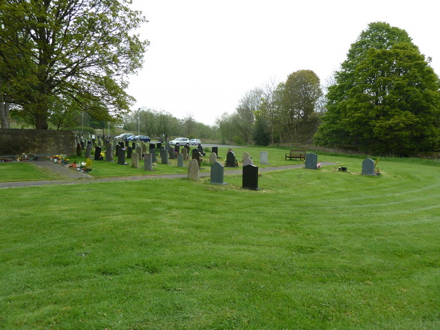 Grave YardHoly well · 1026 yd
 Ballinalacken Church (in ruins)Church · 1065 yd
 CastleCastle, ringwork · 1.6 mi
 Bog Castle (in Ruins)Castle, unclassified · 2.0 mi
 Derrynaflan TrailHeritage attraction · 2.3 mi
 Slieveardagh Heritage CentreVisitor information · 2.4 mi
 Gobban Saer's GraveArchaeological place · 3.5 mi
 Eagle HillMountain / peak · 4.0 mi
 Sweet ChestnutSweet Chestnut · 4.5 mi