What is recorded here
A previous account (Kinahan 1889, 283) notes, on Ballykenny Point, a mound with a circle of standing stones. Another account (Boyle-Somerville 1909, 226-7) notes an 'oval of stones up to 3ft high' and two alignments of stones. None of these features could be found but the area is heavily overgrown and they may remain concealed.
The above description was derived from the 'Archaeological Survey of County Donegal. A description of the field antiquities of the County from the Mesolithic Period to the 17th century.' Compiled by: Brian Lacey with Eamon Cody, Claire Cotter, Judy Cuppage, Noel Dunne, Vincent Hurley, Celie O'Rahilly, Paul Walsh and Seán Ó Nualláin (Lifford: Donegal County Council, 1983). In certain instances the entries have been revised and updated.
Date of upload: 22 September 2008
Likely dating to the Neolithic or Bronze Age, the stone circle in Ballykenny may have functioned as a ceremonial or astronomical site, reflecting early ritual practices or seasonal observations. Local folklore or specific uses for the alignments have not been recorded.
The monument record does not grant public access. Check the route and ask the landowner before entering private land.
- What survives
- Recorded monument
Places near here
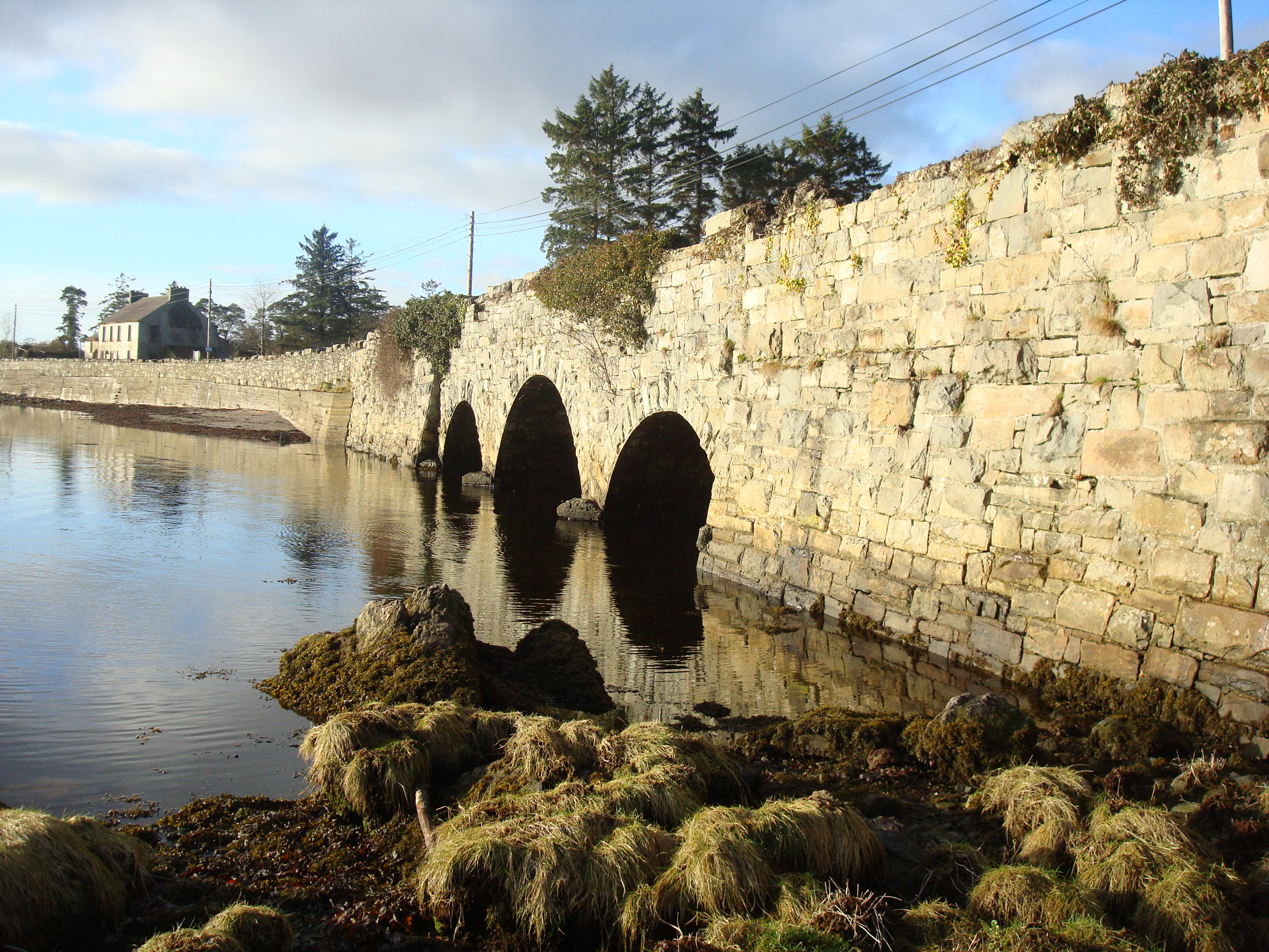 Ray Bridgebridge · 1310 yd
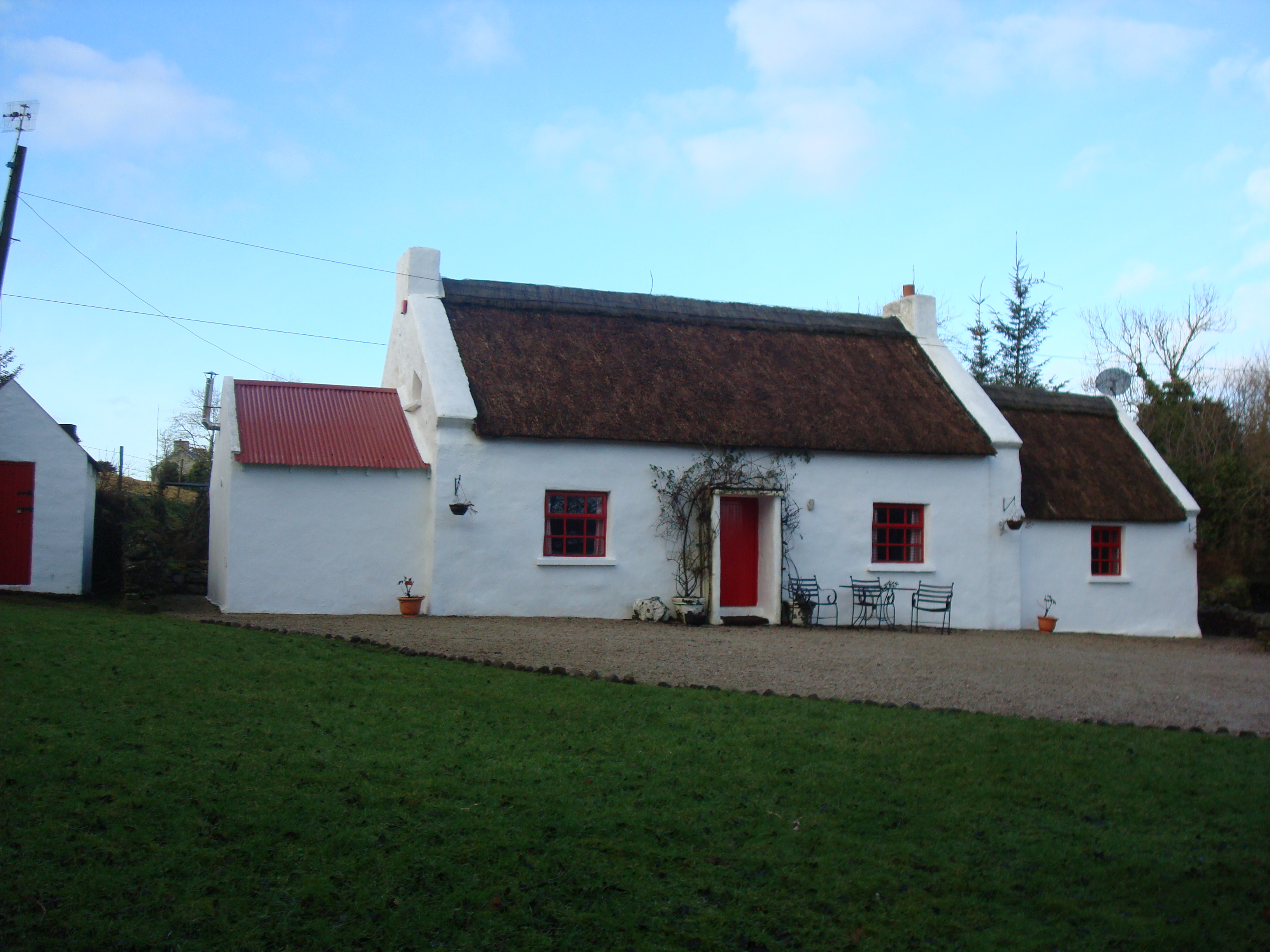 Ray Cottagehouse · 1345 yd
 Aughnish Coastal Fairy FortFairy fort / earthen ringfort · 1.1 mi
 Ardnaree Raised Fairy FortFairy fort / earthen ringfort · 1.4 mi
 Wych ElmWych Elm · 2.0 mi
 Rathmullan Wood Nature ReserveNature reserve · 2.3 mi
 Bawn in RathmeltonBawn · 2.5 mi
 Fort Stewart in RuinsBawn · 2.6 mi
 Mullanadee ShoreBeach / strand · 2.6 mi
 Tullyaughnish Old Church GraveyardGraveyard · 2.7 mi
 Croaghan HillMountain / peak · 3.0 mi
 RathmullanOfficial bathing water · 3.5 mi