What is recorded here
In rough pasture, near headwaters of Rathcoola River. Circle incomplete; probably comprised nine stones. Six erect and two fallen stones remain; these include axial stone and radially-set entrance stones. Two further stones stand beyond entrance and form passage, 2.4m L. Orthostats are 0.5m to 1.6m L, 0.25m to 0.4m T and 0.7m to 0.95m H. Internal measurement along main axis, aligned NNE-SSW, is c. 6.5m. (O Nualláin 1984a, 12-3, no. 5)
The above description is derived from the published 'Archaeological Inventory of County Cork. Volume 3: Mid Cork' (Dublin: Stationery Office, 1997). In certain instances the entries have been revised and updated in the light of recent research.
Date of upload/revision: 14 January 2009
Probably dates to the Neolithic or Bronze Age, given the characteristics of incomplete stone circles in this region. Such sites were likely used for ritual or ceremonial purposes, possibly linked to seasonal or astronomical events.
The monument record does not grant public access. Check the route and ask the landowner before entering private land.
- What survives
- Recorded monument
Places near here
 Man-made underground passage in Gowlane SouthMan-made underground passage · 1.2 mi
 Fulacht FiadhFulacht fia · 1.4 mi
 New TipperaryVisitor information · 1.8 mi
 Knockduff Wind FarmVisitor information · 1.8 mi
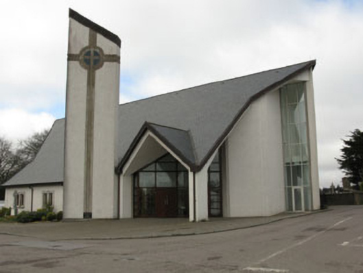 church/chapelchurch/chapel · 2.0 mi
 monumentmonument · 2.0 mi
 Saint Bartholomew's WellSpring · 3.0 mi
 Bweeng LittleMountain / peak · 3.5 mi
 Ballyvodane Castle (in Ruins)Castle, unclassified · 4.2 mi
 Lyradane MountainMountain / peak · 4.5 mi
 Castle Barrett (in Ruins)Castle, Anglo-Norman masonry castle · 6.4 mi
 Mount Hillary - Knightfield LoopWalking route · 8.0 mi