What is recorded here
In flat patch of rough pasture, c. 50m W of Cooleenlemane river. Circle complete; entrance stones, set end-on to circumference, are broken; only stumps remain. The five orthostats are 0.6m to 1m L, 0.15m to 0.2m T and the three intact stones are 0.75m to 1.2m H. Internal measurement along main axis, aligned NE-SW, is 2.5m. Complex comprises of three boulder burials (CO105-004001-) to SW, and pair of standing stones (CO105-004005-) to S. (O Nualláin 1984, 40, no. 80; Roberts 1988, Ch. 5, no. 33)
The above description is derived from the published 'Archaeological Inventory of County Cork. Volume 1: West Cork' (Dublin: Stationery Office, 1992). In certain instances the entries have been revised and updated in the light of recent research.
Date of upload/revision: 14 January 2009
Likely dating to the Neolithic or Early Bronze Age, this small stone circle may have had ritual or ceremonial significance, possibly aligned with seasonal or astronomical events. Such circles are often associated with burial practices or communal gatherings in prehistoric Ireland.
The monument record does not grant public access. Check the route and ask the landowner before entering private land.
- What survives
- Recorded monument
Places near here
 Boulder-burial in Mill LittleBoulder-burial · 24 yd
 Mass-rock in DerrynakillaMass-rock · 813 yd
 Coomhola Salmon Trust (Streamscapes)Museum · 840 yd
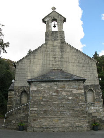 St. Joseph's Roman Catholic Churchchurch/chapel · 1631 yd
 Rose Cottagehouse · 1.0 mi
 Daly's LoopWalking route · 1.1 mi
 An Cab DubhMountain / peak · 1.5 mi
 Snave StrandBeach / strand · 1.5 mi
 Coomhola MountainMountain / peak · 1.7 mi
 Snave BayBay · 2.1 mi
 Chilean myrtleChilean myrtle · 2.1 mi
 Castle (in Ruins)House, fortified house · 2.3 mi