What is recorded here
Five stones stood in a shallow Cork valley, aligned northeast to southwest toward the Martin River basin before destruction between 1933 and 1963. Two entrance stones framed a central axial stone and prostrate slab, creating a narrow chamber where human shadows may have danced during seasonal rituals. The circle measured 4.4 metres across, with uprights reaching 1.2 metres high, yet vanished completely within three decades. What remains is only the memory of stones that once shaped light and darkness in that eastern-opening valley.
Probable five-stone circle. Destroyed between 1933 and 1963. In shallow valley opening E to Martin River basin. Earlier accounts record two entrance stones and axial stone with prostrate slab between them at centre. Orthostats were c. 1.1m to c. 2.2m L, c. 0.17m to 0.45m T and c. 0.9m to c. 1.2m H. Overall measurement along main axis, aligned approximately NE-SW, was c. 4.4m. (O Nualláin 1984a, 33-4, no. 59)
The above description is derived from the published 'Archaeological Inventory of County Cork. Volume 3: Mid Cork' (Dublin: Stationery Office, 1997). In certain instances the entries have been revised and updated in the light of recent research.
Date of upload/revision: 14 January 2009
Likely dating to the Neolithic or early Bronze Age, this stone circle may have functioned as a ceremonial or ritual site, aligned with the surrounding landscape. The axial stone and central slab suggest a symbolic or astronomical purpose, possibly linked to seasonal or communal events.
The monument record does not grant public access. Check the route and ask the landowner before entering private land.
- What survives
- Recorded monument
Places near here
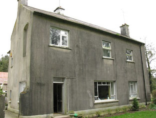 Davis Castlehouse · 607 yd
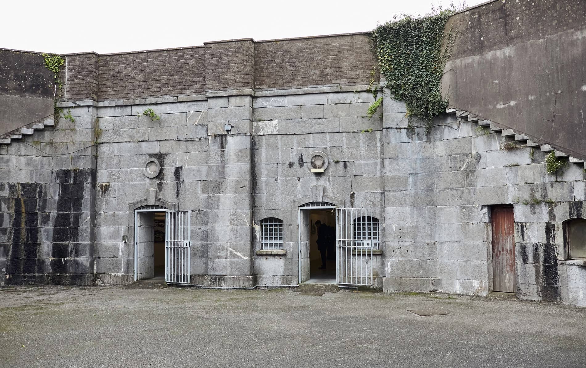 Enclosure in BallymorisheenEnclosure · 889 yd
 Enclosure in Ballyvaloon (barretts By.)Enclosure · 1081 yd
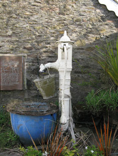 water pumpwater pump · 1427 yd
 Lyradane MountainMountain / peak · 1.7 mi
 Castle (Site of)Castle, Anglo-Norman masonry castle · 1.7 mi
 Rock HillMountain / peak · 2.0 mi
 Pairc Ath Na hEornaMemorial · 2.2 mi
 Ballyvodane Castle (in Ruins)Castle, unclassified · 2.9 mi
 Graveyard in KilmonaGraveyard · 2.9 mi
 St John's WellSpring · 4.4 mi
 New TipperaryVisitor information · 4.5 mi