What is recorded here
On level shoulder on SE-facing slope of Mealagh river valley. Circle complete; N entrance stone prostrate. Orthostats are 1m to 1.2m L, 0.5m T and 1m to 1.2m H. Beside and to S is spread of stones c. 8m in diameter; possible field clearance. Standing stone (CO106-057---) c. 26m to S. (WBBS). Myler (1998, 37) records that the 'stone circle is situated within a small area enclosed by ditches on three sides'.
The above description is derived from the published 'Archaeological Inventory of County Cork. Volume 1: West Cork' (Dublin: Stationery Office, 1992). In certain instances the entries have been revised and updated in the light of recent research.
Date of upload/revision: 24 January 2013
Probably dates to the Neolithic or Bronze Age, given the typical dimensions and layout of such stone circles in Ireland. It may have functioned as a ritual or ceremonial site, possibly linked to seasonal or astronomical events, though specific folklore or use is not recorded.
The monument record does not grant public access. Check the route and ask the landowner before entering private land.
- What survives
- Recorded monument
Places near here
 Man-made underground passage in Ards More (west)Man-made underground passage · 792 yd
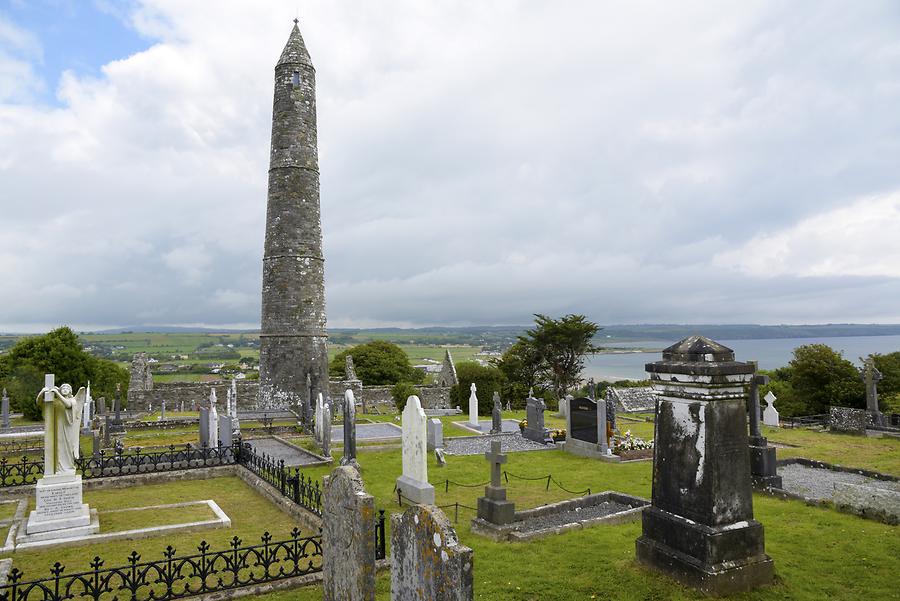 Burial ground in Ards More (west)Burial ground · 965 yd
 Kealkill stone circleVisitor information · 1.2 mi
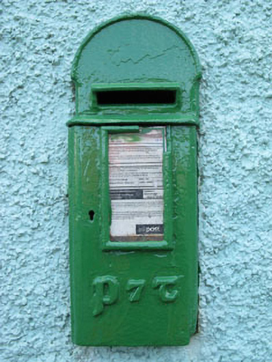 post boxpost box · 1.5 mi
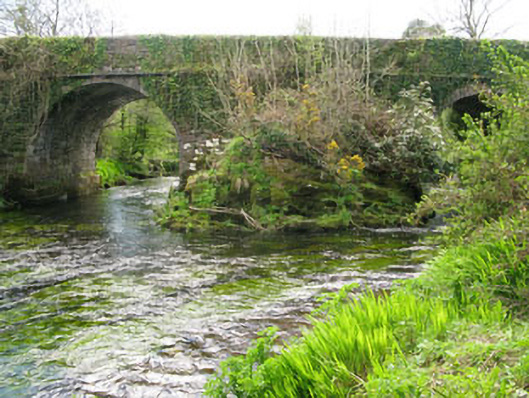 Lisheen Bridgebridge · 1.8 mi
 Carriganass CastleCastle · 1.8 mi
 Bulls PocketMountain / peak · 2.5 mi
 Mullach MéiseMountain / peak · 2.8 mi
 St Finbarr's Pilgrim RouteWalking route · 2.8 mi
 Castle (in Ruins)House, fortified house · 3.1 mi
 Daly's LoopWalking route · 3.3 mi
 Ballylickey BayBay · 3.4 mi