What is recorded here
Five stones once formed a complete circle on the bog slope below Barrabog mountain, though only four remain visible today. The missing entrance stone likely fell or was buried, breaking the neat NE-SW alignment that still measures 2.3m across. A short stone row and distant cairn suggest this was never an isolated marker but a small ceremonial landscape where people moved between points rather than gathering around one center.
On bog-covered S-facing slope of S extension of Barrabog mountain. Four stones survive measuring 0.8m to 1.3m L, 0.2m T and 0.45m to 1m H; N entrance stone leans heavily inwards. Internal measurement along main axis, aligned NE-SW, is 2.3m. Part of complex also comprises of stone row (CO090-00601-) c. 4m to S and cairn (CO090-00603-) c. 11m to SSE. (Ó Nualláin 1984, 39, no. 76)
The above description is derived from the published 'Archaeological Inventory of County Cork. Volume 1: West Cork' (Dublin: Stationery Office, 1992). In certain instances the entries have been revised and updated in the light of recent research.
Date of upload/revision: 14 January 2009
The monument record does not grant public access. Check the route and ask the landowner before entering private land.
- What survives
- Recorded monument
Places near here
 Field boundary in CanrooskaField boundary · 11 yd
 Field boundary in Currakeal (bear By.)Field boundary · 315 yd
 Tasmanian bluegumTasmanian bluegum · 1712 yd
 Glengarriff Eccles Hotelhotel · 1.0 mi
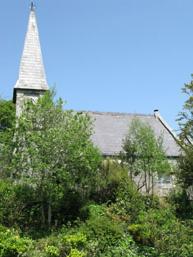 The Old Church Caféchurch/chapel · 1.1 mi
 The Blue PoolHeritage attraction · 1.2 mi
 Graveyard in CappyaughnaGraveyard · 1.3 mi
 Calf IslandIslet · 1.3 mi
 Friars IslandIslet · 1.3 mi
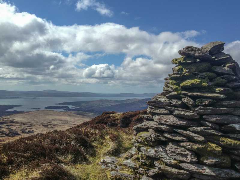 Barraboy Mountain SE TopMountain / peak · 1.4 mi
 Lady Bantry's LookoutViewpoint · 1.5 mi
 Barraboy MountainMountain / peak · 1.6 mi