What is recorded here
On small level patch of moorland on NE side of saddle between Spratt Hill and Knockaveagh. One of five stone fallen; others are 0.8m to 1.1m L, 0.15m to 0.3m T and 1m to 1.3m H. Entrance stones set unusually far apart. Internal measurement along main axis, aligned NE-SW, is 2.45m. Pair of standing stones (CO118-044001-) c. 5.5m to S. (Ó Nualláin 1984, 42, no. 85; Roberts 1988, Ch. 5, no. 5).
The above description is derived from the published 'Archaeological Inventory of County Cork. Volume 1: West Cork' (Dublin: Stationery Office, 1992). In certain instances the entries have been revised and updated in the light of recent research.
Date of upload/revision: 14 January 2009
Probably dates to the Late Neolithic or Early Bronze Age, given the typical construction style of stone circles in this region. The wide spacing of the entrance stones may indicate ceremonial or astronomical significance, though specific folklore or use remains unrecorded.
The monument record does not grant public access. Check the route and ask the landowner before entering private land.
- What survives
- Recorded monument
Places near here
 Killean Burial GroundBurial ground · 28 yd
 farm housefarm house · 705 yd
 Burial Ground (Disused)Burial ground · 932 yd
 Baugorm Castle (Site of)Castle, unclassified · 1040 yd
 Trawlebane WalkWalking route · 1320 yd
 Seskin ViewViewpoint · 1.4 mi
 Scart Castle (Site of)Castle, unclassified · 1.6 mi
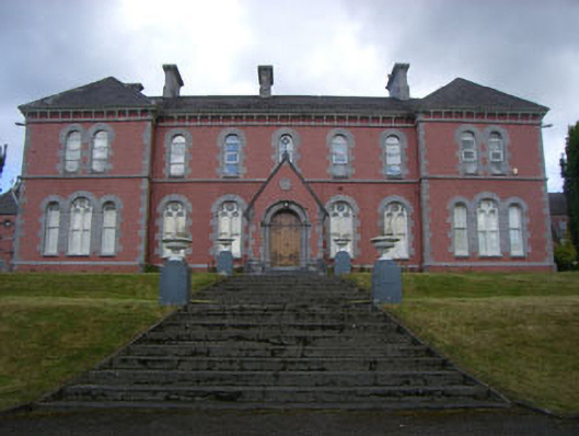 Convent of Mercyconvent/nunnery · 1.6 mi
 Graveyard in TownlotsGraveyard · 1.8 mi
 Francis O'Neill PlaqueMemorial · 1.8 mi
 Tourist OfficeVisitor information · 1.9 mi
 GinkgoGinkgo · 2.5 mi